Scarface Mountain
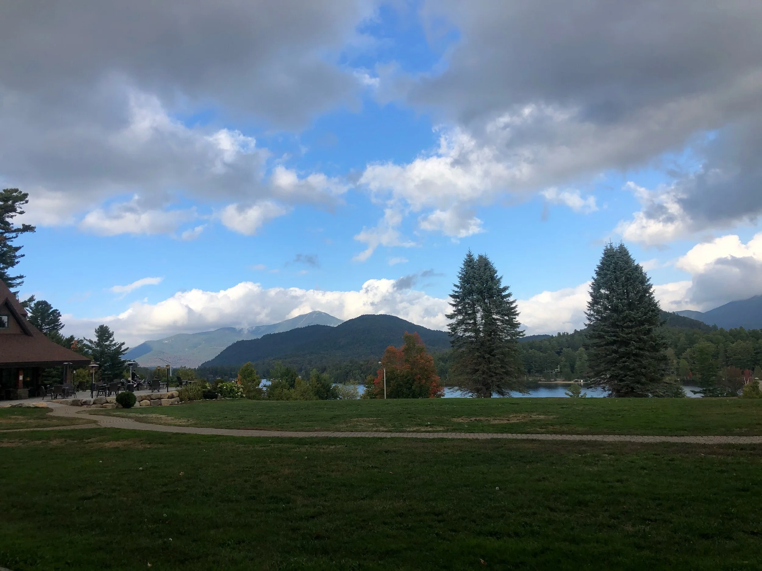
September 17, 2020 | Ray Brook, NY The background: Truth be told, I was on my way to the Adirondack Loj to hike Street and Nye (2 of the 46 Adirondack High Peaks); however, as the rain poured down and my windshield wipers swished back and forth furiously, I knew this was not the day to do this, let alone solo, especially since there is a river crossing. So, I turned around, set my GPS to Ray Brook, and proceeded to the trailhead for Scarface Mountain. Don’t ignore your gut when something feels off – or if you just don’t feel like hiking or completing a certain hike one day. The mountains will be there for you when you are ready.
Getting there: If approaching from Lake Placid, head west on route NY 86 towards Saranac Lake. After a few miles, you’ll see a Sunoco station on your left, where you’ll make the left onto Old Raybrook Road. The trailhead will be on your left 0.1 miles down the road (note: when I went, there was a barricade blocking traffic to one side; you can still go down the road and get to the trailhead, since it’s one of the first areas you’ll see to your left.)
The hike: Scarface Mountain is a 7.4 mile (11.90km) out and back hike part of the Saranac Lake 6er hiking challenge – more on that here. I was the first car in the lot to arrive at 9:15 AM on a Thursday in September, ready to embrace the day’s weather. Despite the steady rain, it turned out to be one of the warmer days, so I didn’t even mind some of the rain drops and grayness emanating from the sky. This was a solo hiking day, so I started to make my way on the trail, winding through the peaceful, flat forest. The rain even started to let up, but I accepted that this would be a misty, gray day in the mountains – and I wasn’t mad about it.
I soon approached the railroad crossing, a feature that isn’t often encountered on my hikes in the ADK. Soon after, I reached a bench with a memorial plaque (I had looked up the story after my hike.) I then proceeded to the Ray Brook water crossing over the wooden bridge, which appears to have been rebuilt in 1985 by a camp crew (photo below.) I carried on through the beautiful pine tree forest following the red trail markers and well-worn trail, appreciating the serenity and how much I was already loving this morning hike. I was going at a very steady pace, when I finally started gaining elevation to reach the summit. I had to watch my footing a bit more on this section from the wet rain and roots (as typical of most ADK adventures.)
I soon made the left on the trail to continue towards the summit, where trail markers will mostly disappear. I knew there would be a small lookout area before reaching the treed-in summit, and believe I found it – except I was greeted with overcast clouds, and no views. The rain had stopped by this point, but I had already accepted that this day would be about the trail and my experience, not views. The more I hike, the less I crave views, and instead, seek other unique aspects to my hikes. Anyways, you will have to scramble a bit and climb over some larger rocks at this point– nothing technical, but worth noting and watching your footing. I made it up the mountain and walked a bit further, almost concerned that I may have missed the white trail disc I was looking for with the summit name- and then the clearing appeared. I had made it, surrounded by the magical stillness of the trees. I will never forget this moment, as I felt as though Mother Nature was giving me a comforting “hug.” I didn’t need a view of the town or other mountains; I had this moment to myself with the earth and all her enlightening energy. I then spent a few moments admiring my surroundings and repeating my mountain gratitude mantra (“I am with Mother Nature; Mother Nature is with me.”) After setting up the tripod and taking a few photos, I started to make my way down the mountain. Except I was daydreaming and lost my way – as I mentioned earlier, the trail markers are not as evident on this section. I had to backtrack a bit and then find my way back on the path. Nothing to be concerned about – perhaps continue daydreaming once you’re off the summit, unlike me. It looked like the sky was actually clearing up and the rain wasn’t going to return for the day. I didn’t want to leave – I absolutely loved this trail! I made it back to the trailhead, mostly dry and spirits lifted, seeing a few groups now at the parking lot ready to start their hike.
Concluding notes: I would imagine this trail often gets overlooked due to the fact that there is no sprawling 360-degree view at the summit– do not let this deter you! This is a gorgeous trail to spend a few hours exploring; I can honestly say I can’t wait to go back on a clearer day and experience a different vibe; I could spend a morning or afternoon just soaking in the beauty of the pine trees and mother nature. Even if you don’t have any intention of completing the Saranac Lake 6er challenge, I still highly recommend this trail. I’d imagine it does not get as much traffic as the other peaks, which could be a great alternative on a busy summer weekend when the other summits are overwhelmed with hikers. It is not exceedingly difficult, despite the mileage listed. If you haven’t already been here, I hope you add this to your list next time you find yourself in the Lake Placid/Saranac Lake region!
My recommendation for an ideal day and what you can pair this hike with:
Mount Baker would be a great addition- it’s a very short (but steep!) hike nearby. It is also part of the Saranac Lake 6er hiking challenge.
Or you can do what I did – head to the ‘dack Shack for some lunch and a slice of peanut butter pie…