Sleeping Beauty and Erebus Mountains
Region: Washington County, Lake George
June 26, 2020 | near Fort Ann, NY
The background: If you’ve been following me on Instagram, then you already know how much I love hiking in the Lake George Area. The region has its own unique characteristics, just as other parts of the Adirondacks do. I always feel I am at an indescribable peace when I am here.
The truth, is this was not my first attempt at Sleeping Beauty. About 8 months prior, I had attempted to meet 2 friends (who I hadn’t met at the time) for a sunset hike. Except, I didn’t realize I had to continue down the road to the next lot. And then once I did, I tripped and fell alone on my way to meet them, and never made it to the summit while wandering back out in the dark, FaceTiming my mom.
Anyways - I made it back here on this clear June day, ready and eager to try again.
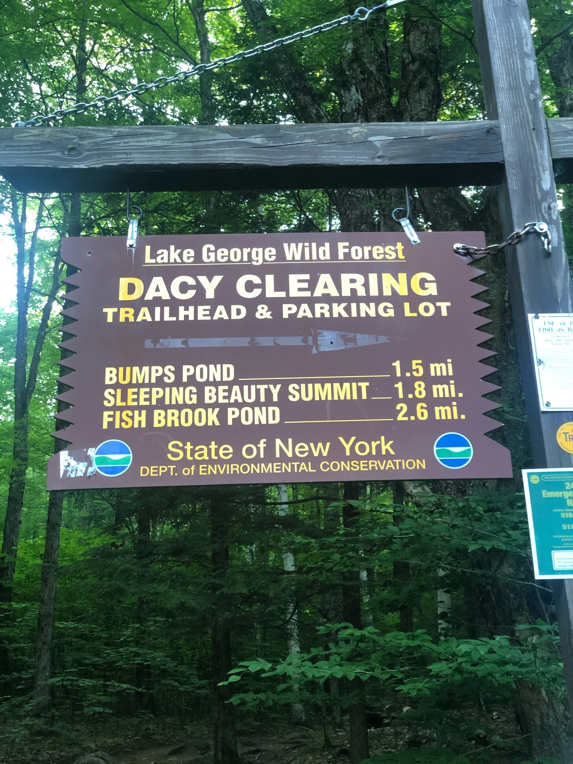
Getting there: You’ll be driving to the eastern side of the lake for this hike. A bit of a different feel than the west side (and a different county!) and a bit more remote. It’s about a 40-minute drive from the village of Lake George. One way is to head south on route 9 and make a left onto route 149 (before the outlets.) Continue for about 6 miles, until you hit Buttermilk Falls Road – make a left here. The road will turn into Sly Pond Road, then Shelving Rock Road, which you will continue for about 9.5 miles, until you see the Hogtown parking area and Dacy Clearing Road. In 3-season weather, if your car is up for it you can continue down the road to the next trailhead (there are two particularly sketchy sections that I recall on the road, in terms of potholes.) If not, or if it is closed (the gate will be down) then you can park in the Hogtown lot and begin there, adding about 1.5 miles each way (3 miles round trip) to your day. There are no fees to park, but spaces are limited.
Keep in mind you will lose cell service in this area and most likely will not have it again until you are approaching the summit.
Important note: I drive a Jetta (no 4-wheel drive unfortunately) and just barely felt comfortable making the final 1.5-mile push to the closer trailhead. That said, I’ve now done it twice (well, four times in total back and forth) and my car was OK afterwards. Be cautious and alert when making your way (slowly) down this road.
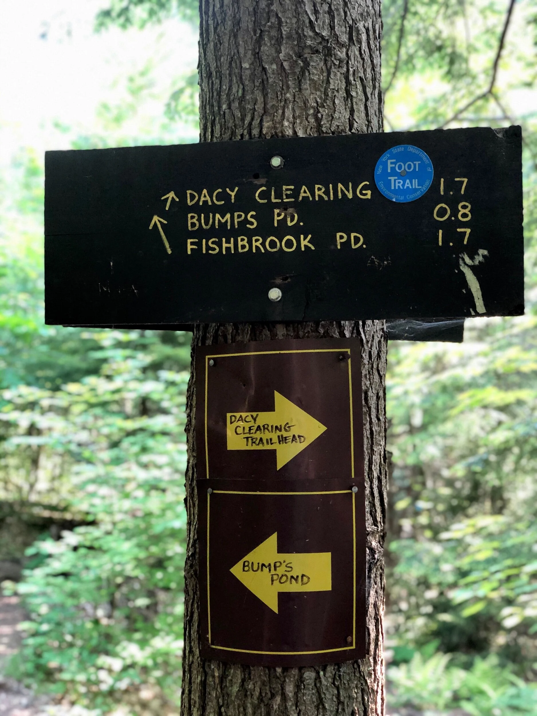
The route: 9 miles counter-clockwise from Dacy Clearing Trailhead– Sleeping Beauty, to Bumps Pond, on to Fishbrook Pond, finishing with Erebus Mountain, looping back to the trailhead.
The challenge: I will write a separate post on the Lake George 12ster hiking challenge, but in the meantime, you can always check out more on their site, here.
Sleeping Beauty Mountain
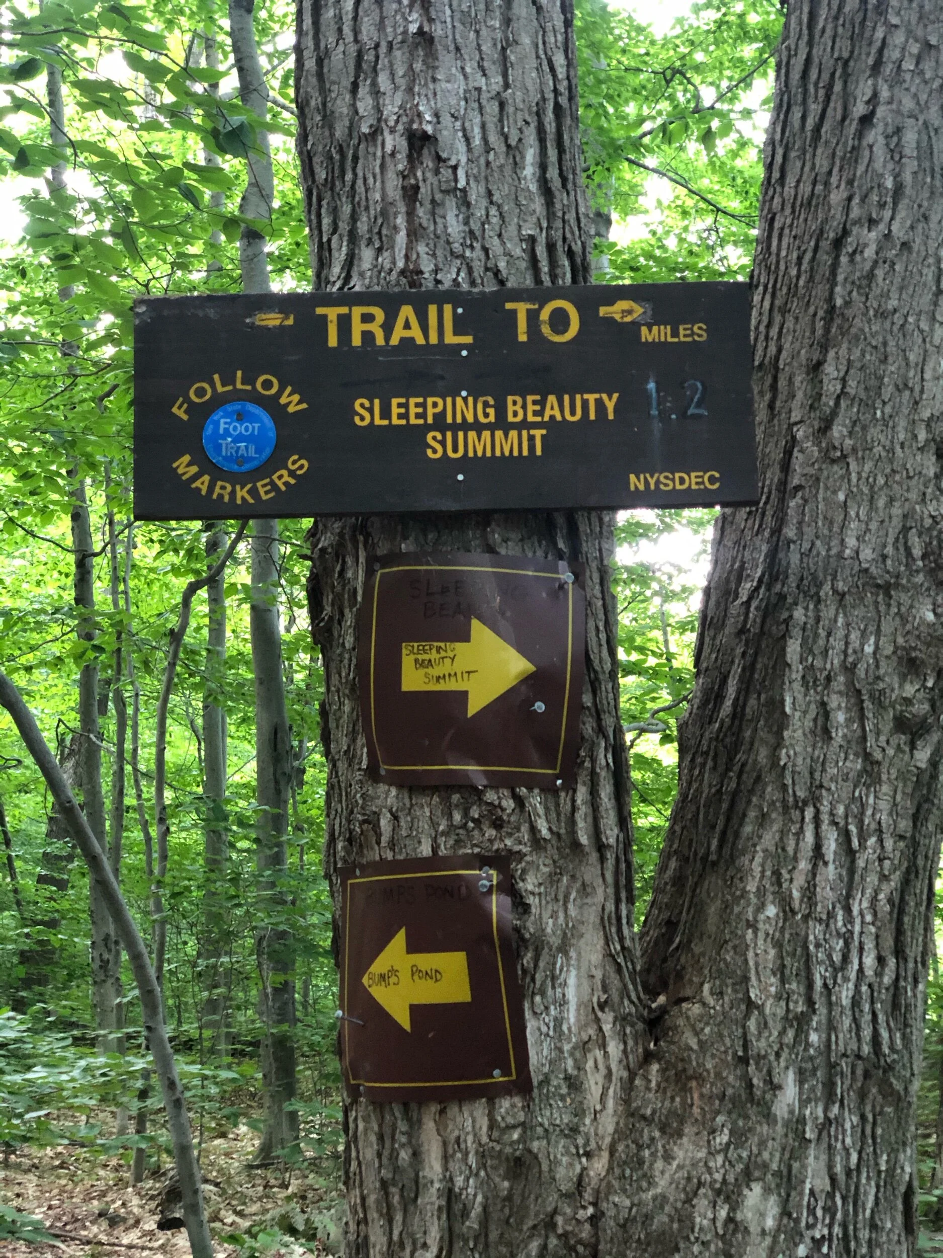
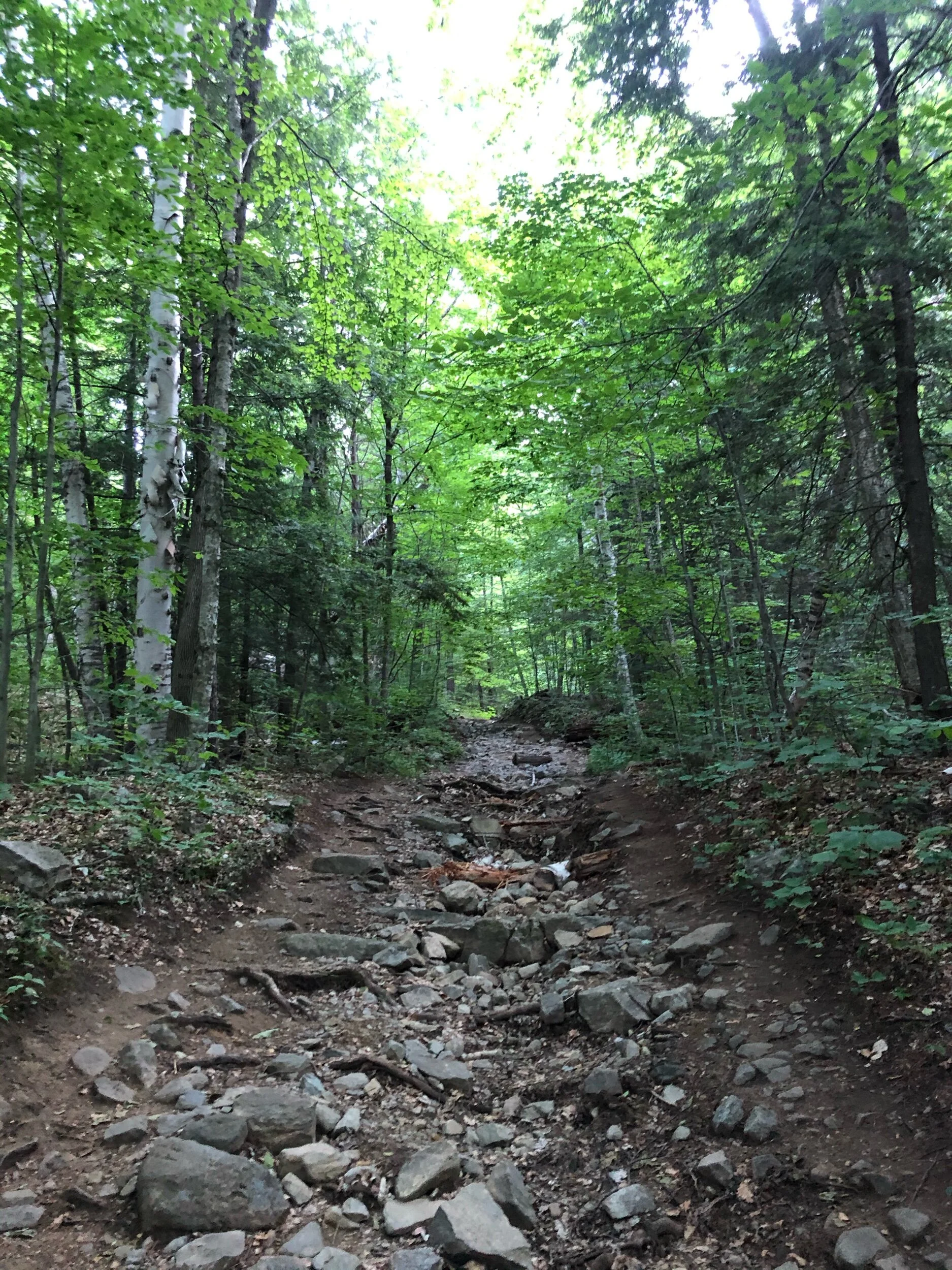
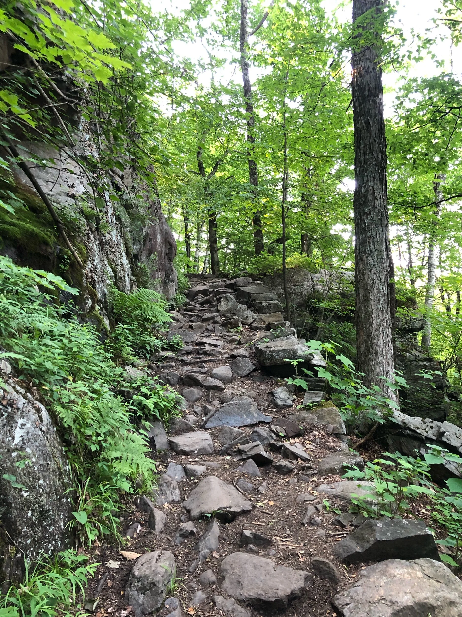
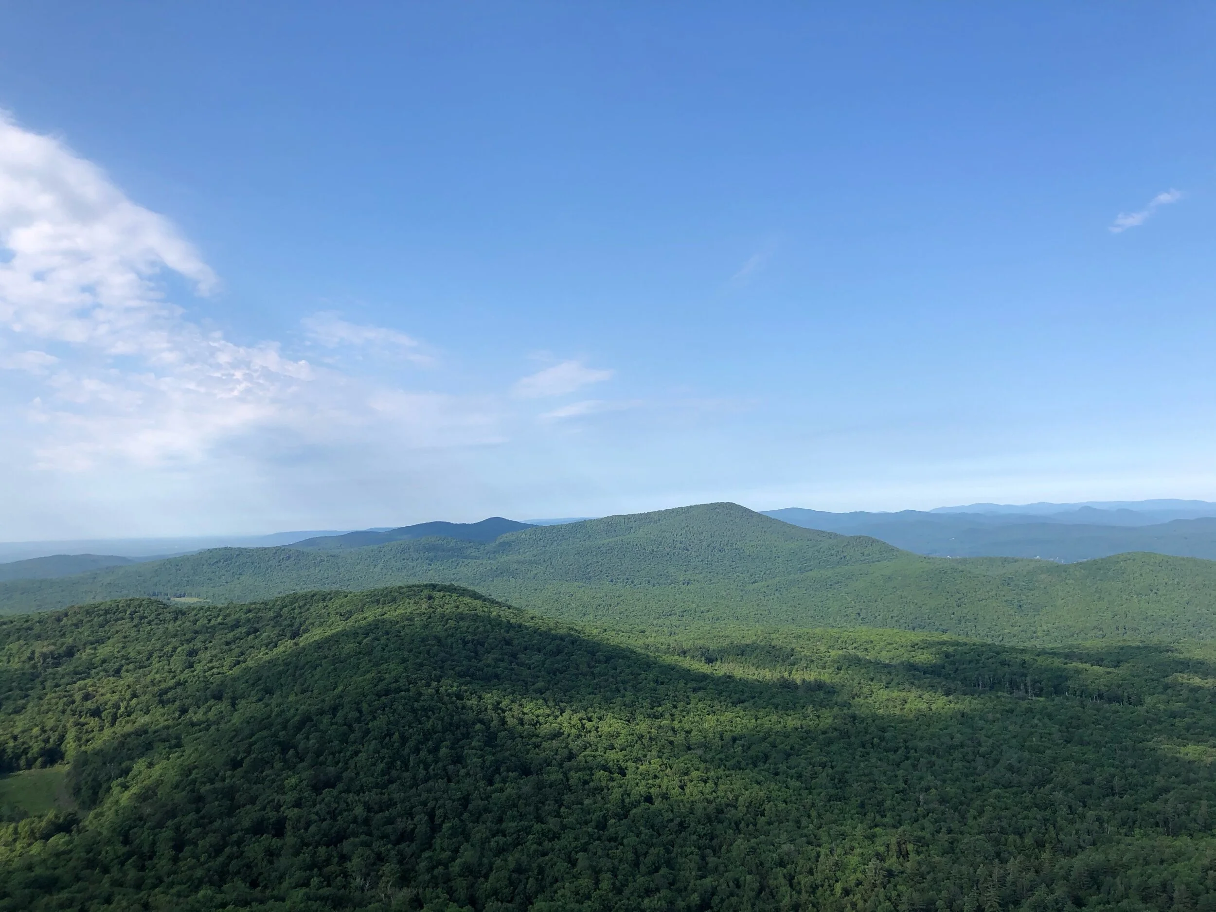
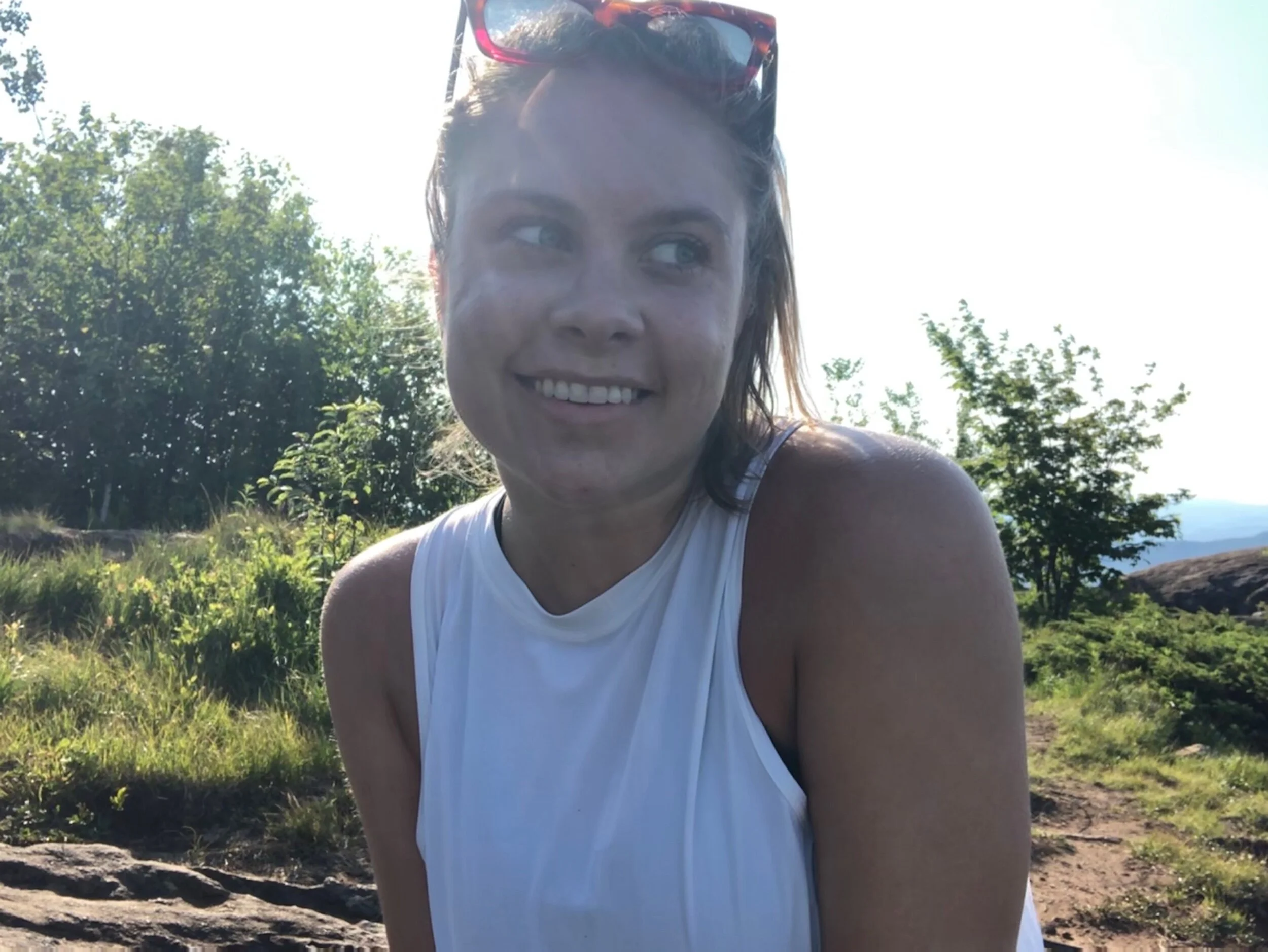
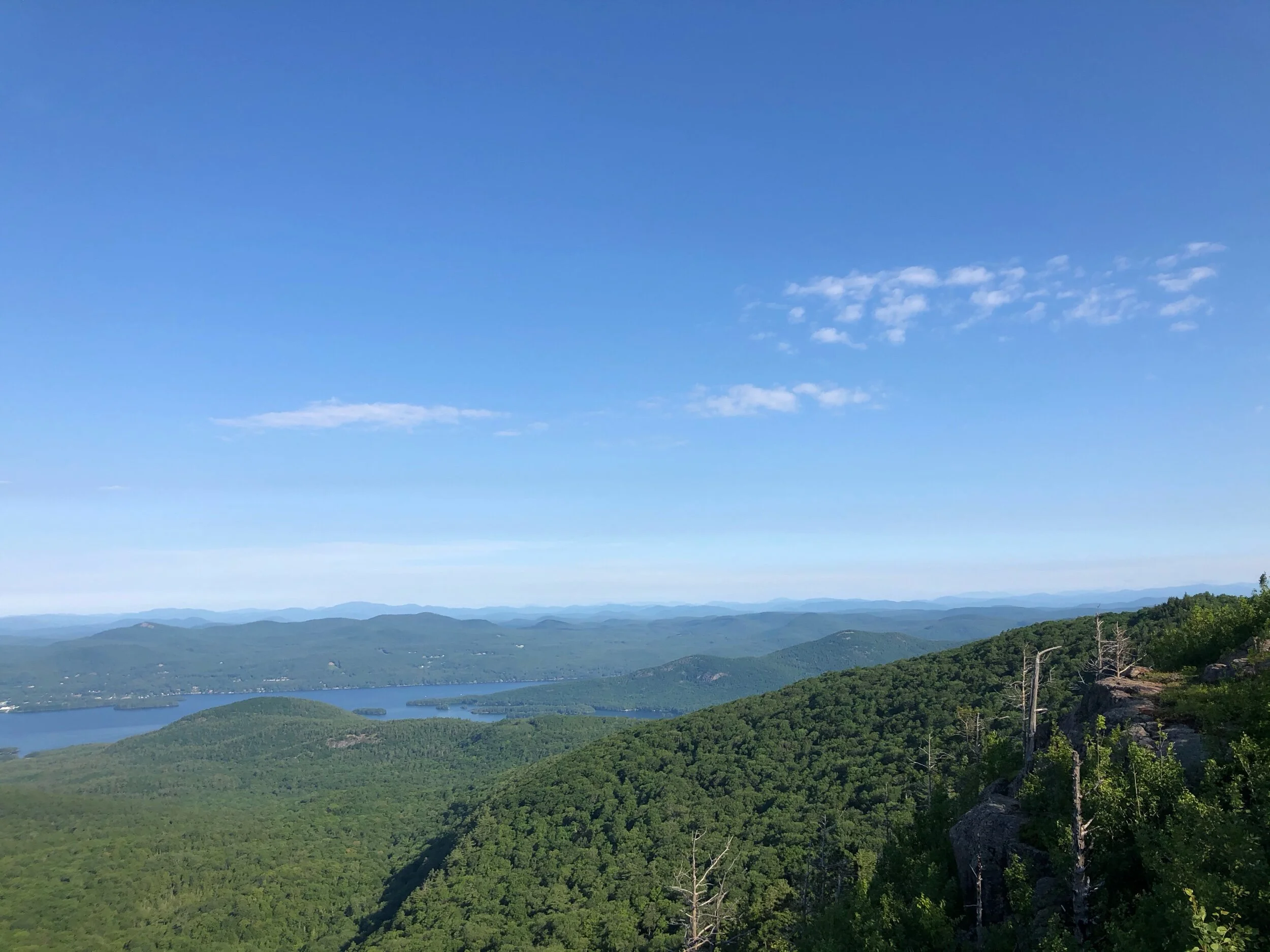
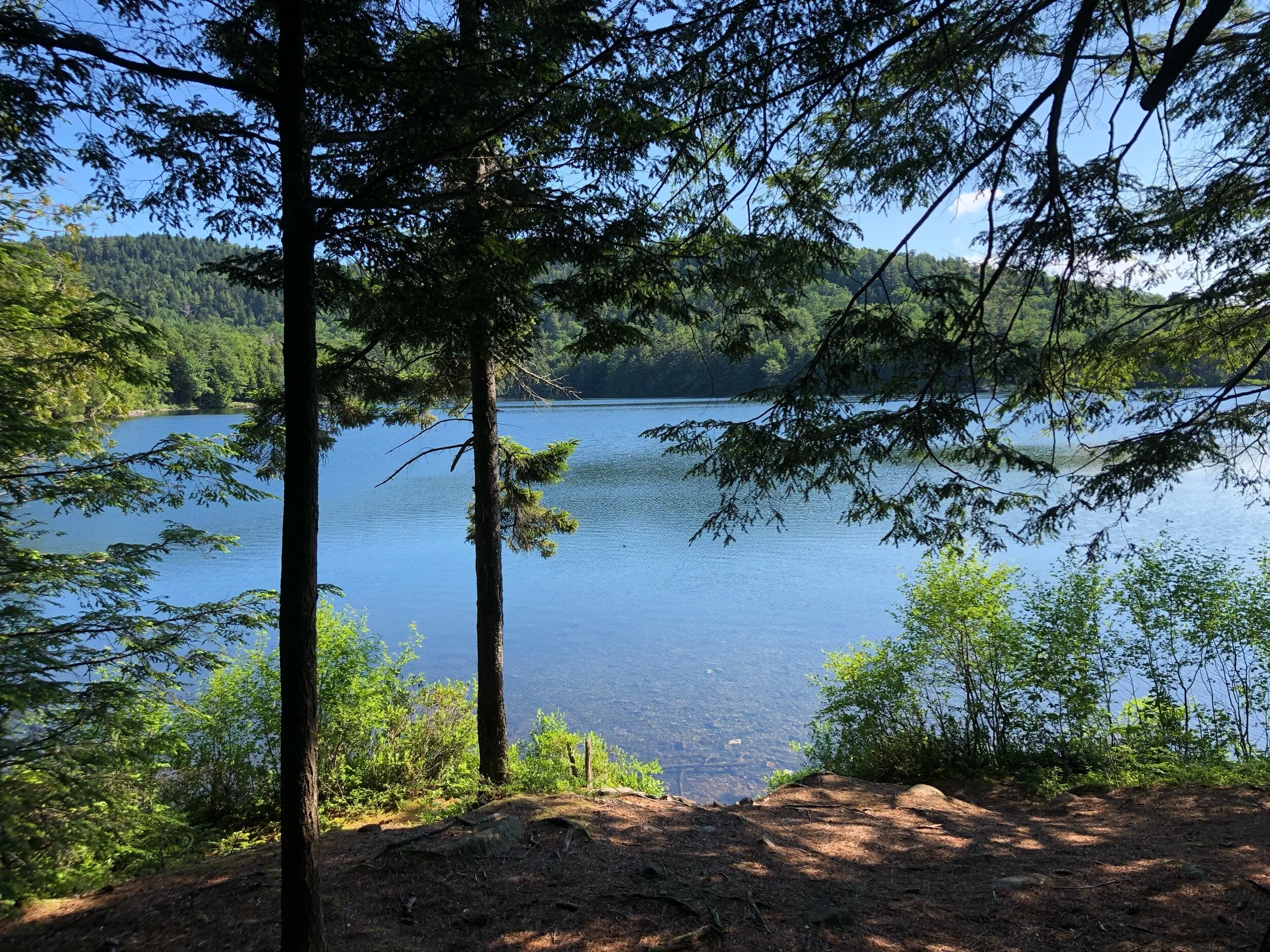
I arrived at 7:15 AM, one of the first cars in the lot on that Friday. This would be my first hike in the Adirondacks for the season, so I was more than ready to go. My first stop was Sleeping Beauty, 1.8 miles from the trailhead. I started out on the rock-covered trail, enjoying the greenery and silence around me as mother earth began to wake up. 0.6 miles later, I reached the next trail sign, where I took a right to Sleeping Beauty, as I would be returning my loop from the left. The blue trail markers are easy to follow, and the ascent to the summit is overall pleasant and gradual, certainly nothing overly challenging nor technical. After a few switchbacks, you’ll be turning left the last 0.1 miles to reach the viewing area. Before I knew it, I was enjoying the summit to myself on this clear, sunny day, looking out at magnificent Lake George and beyond. I spent some time exploring the sprawling summit and sat down to take a moment and appreciate the day and eat some breakfast. After spending a good 30 minutes at the summit, it was time to pack up and head to my next stop. I rarely spend this much time at a summit, but I was truly inspired to stop and soak in all the goodness on this summer day.
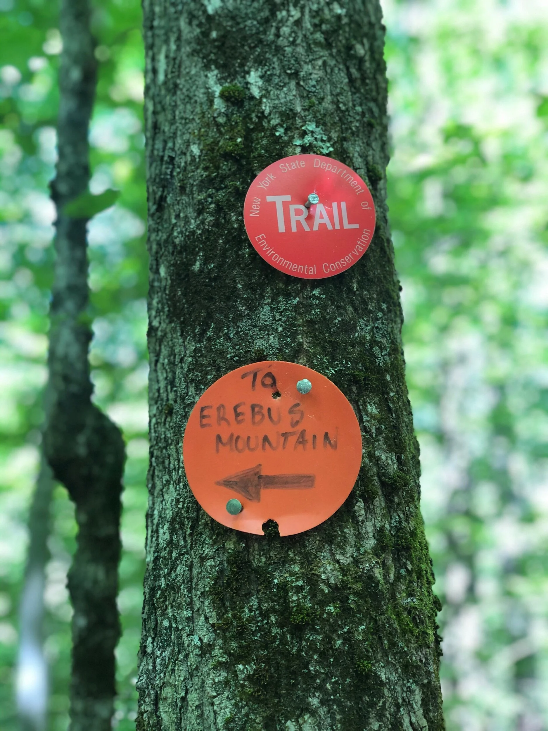
Erebus Mountain
(pronounced Air-ah-bis – I pronounced this wrong until recently. Oops.)
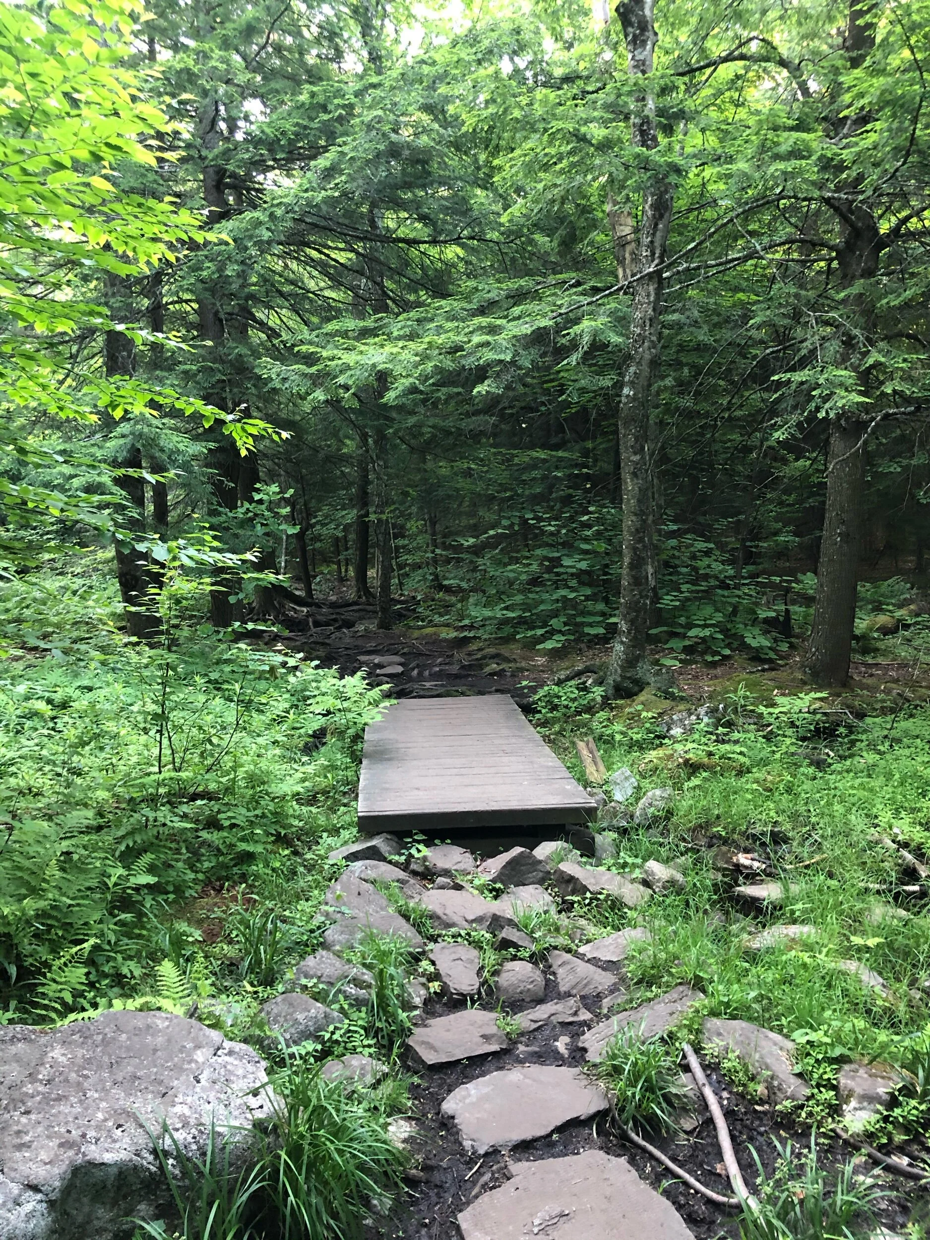
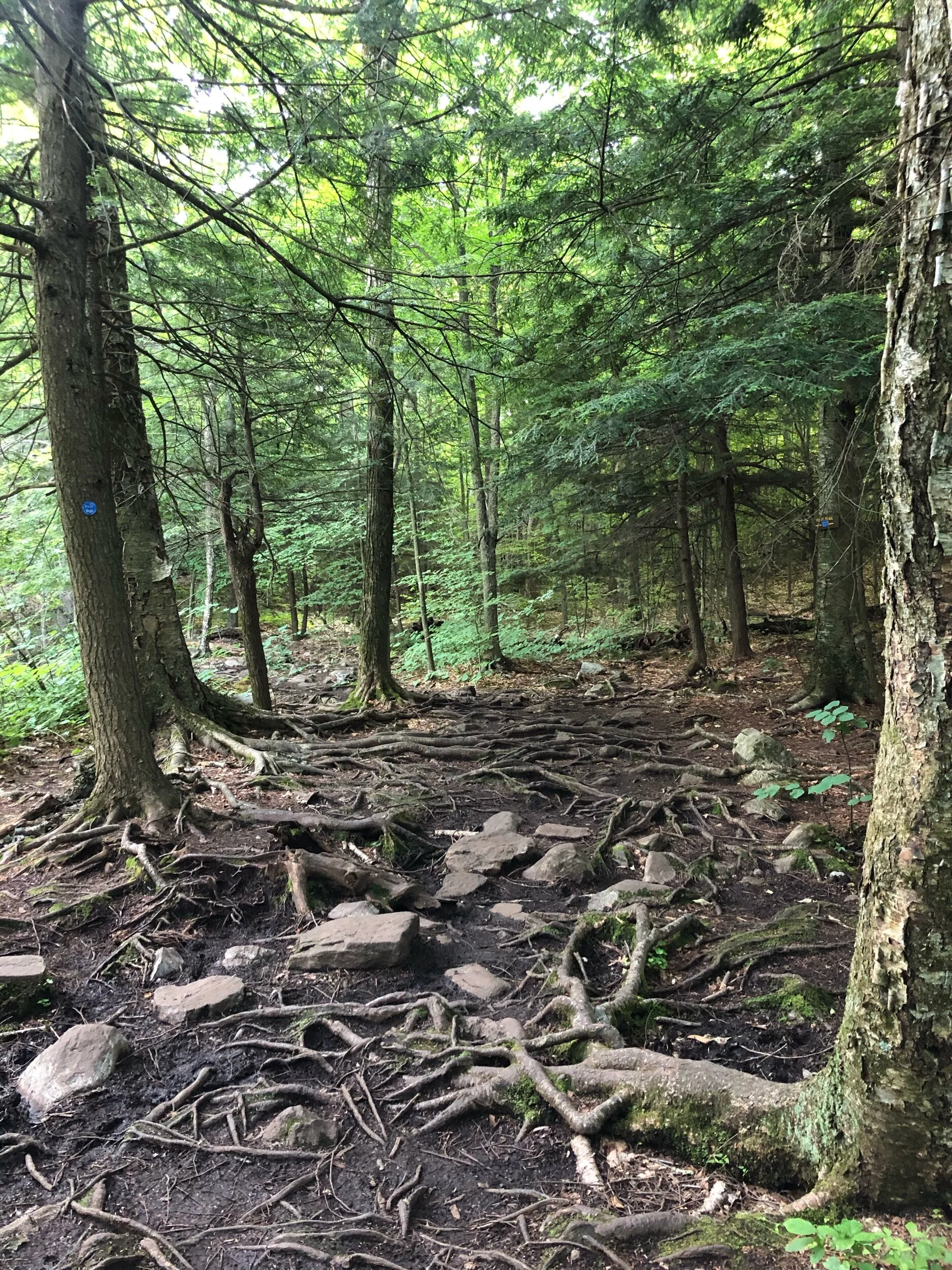
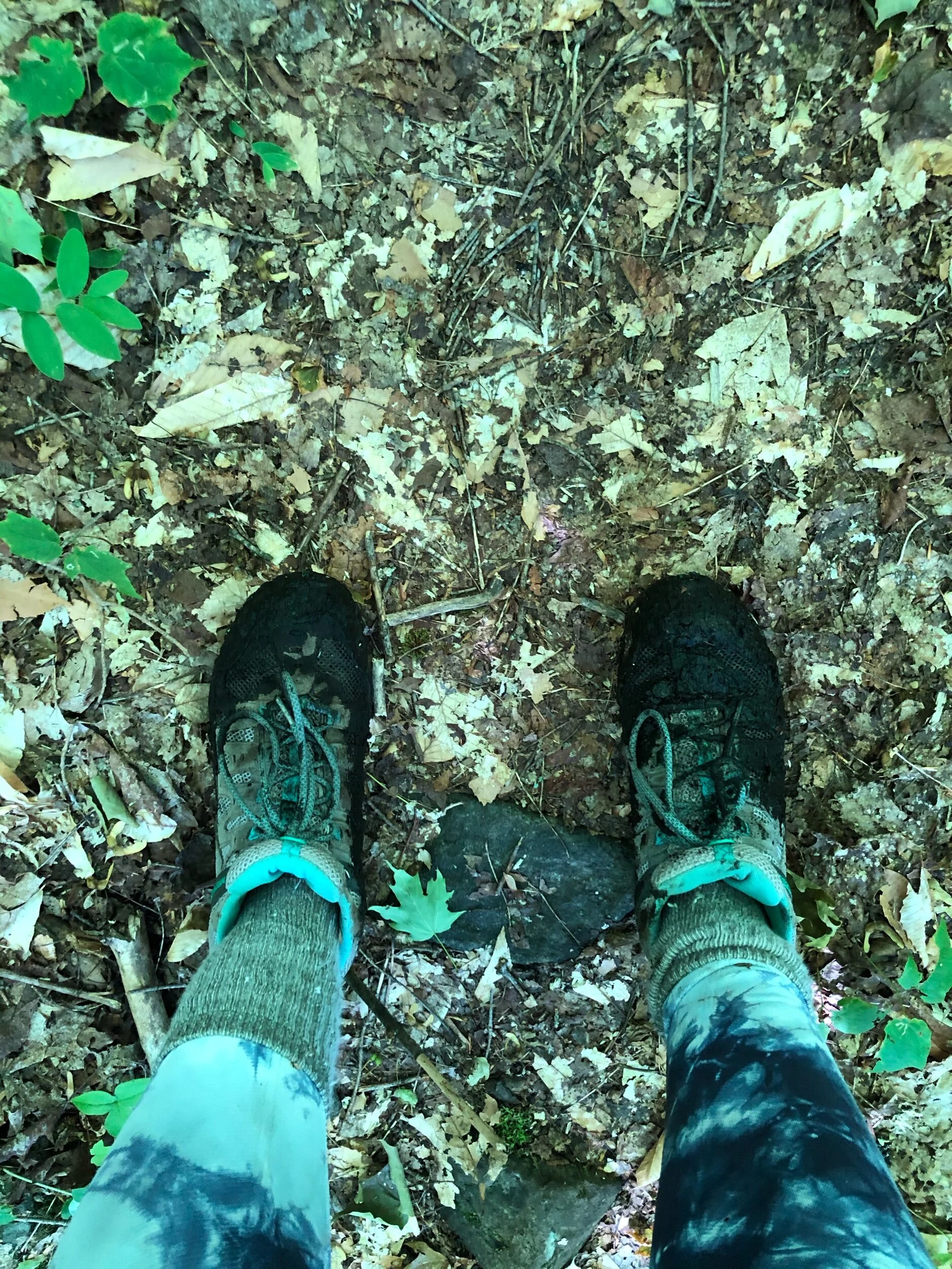
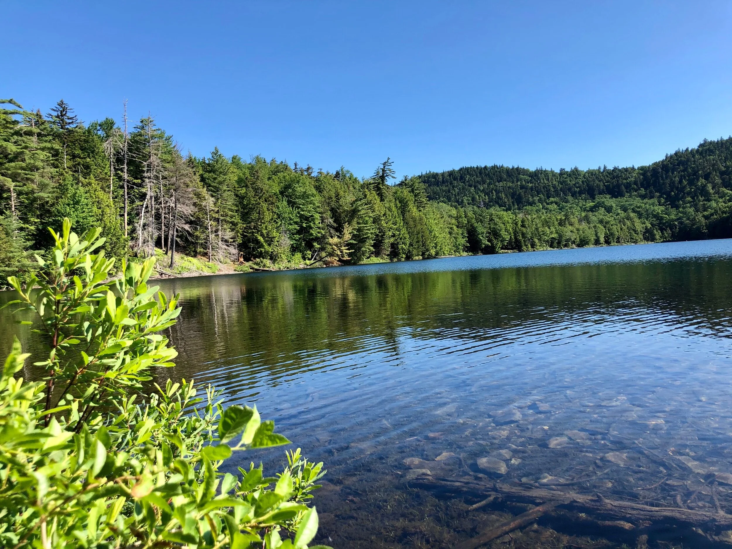
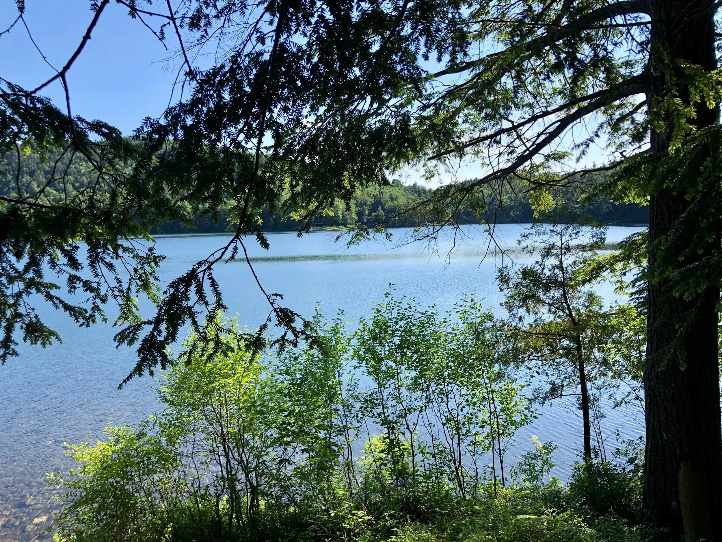
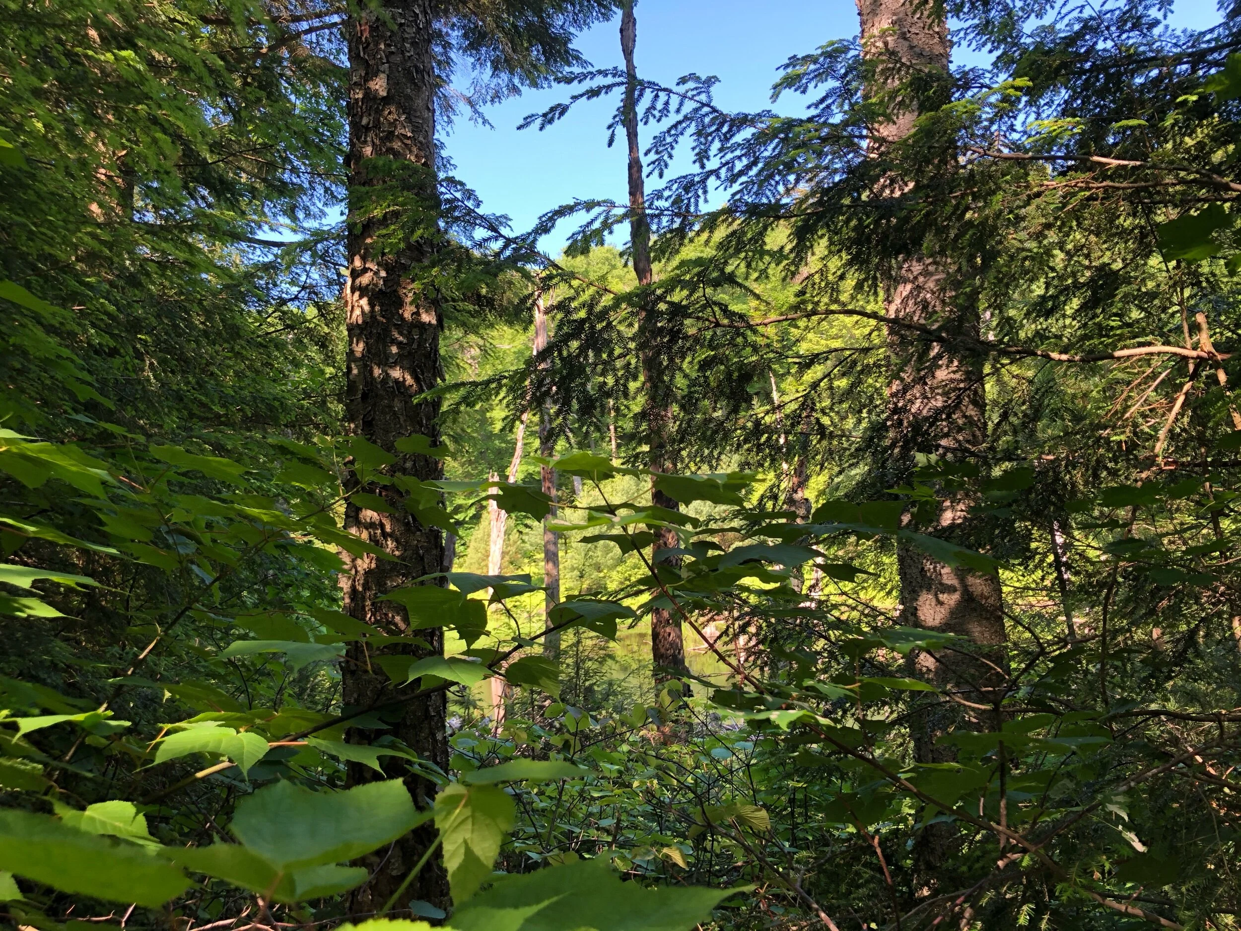
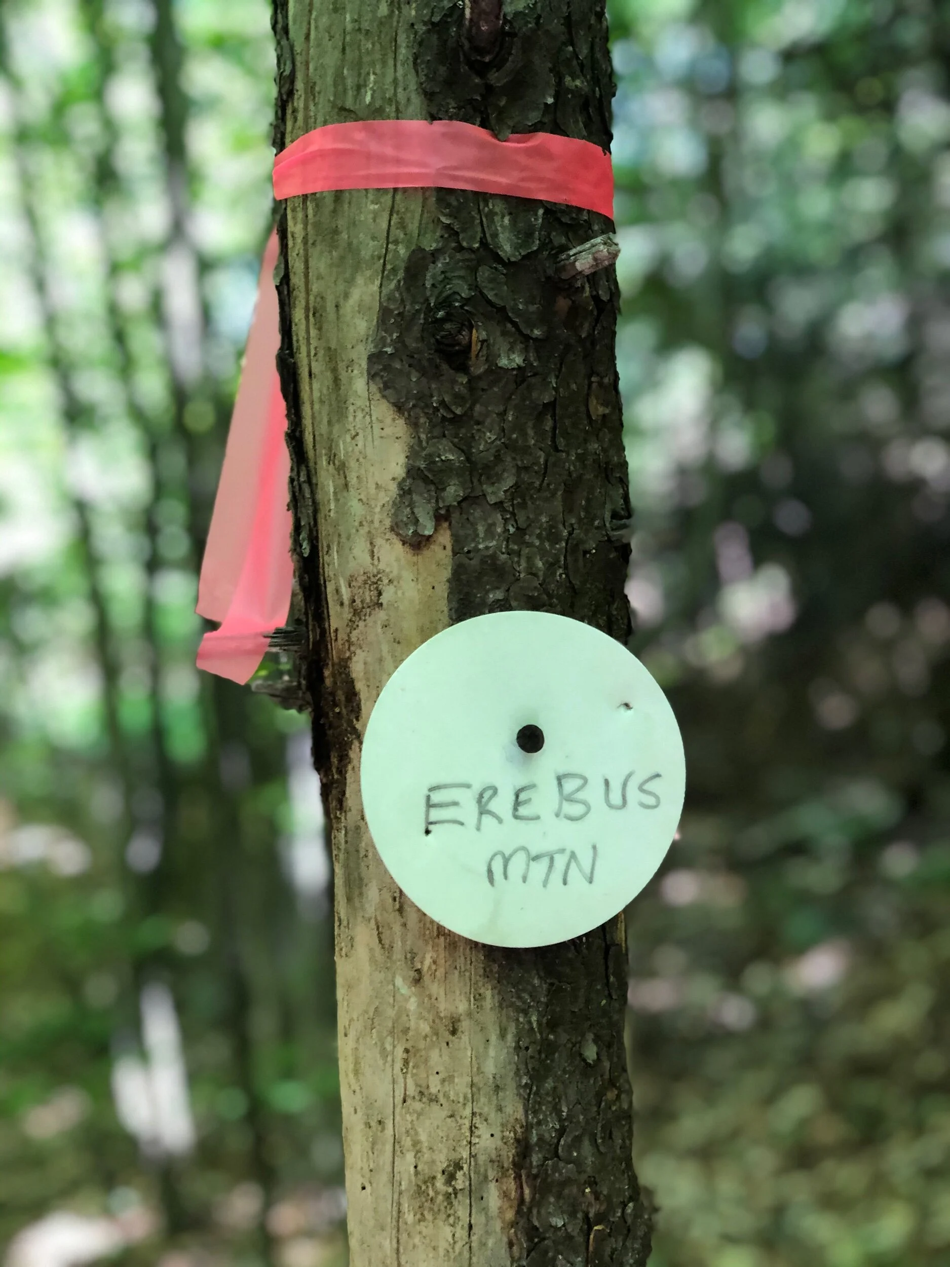
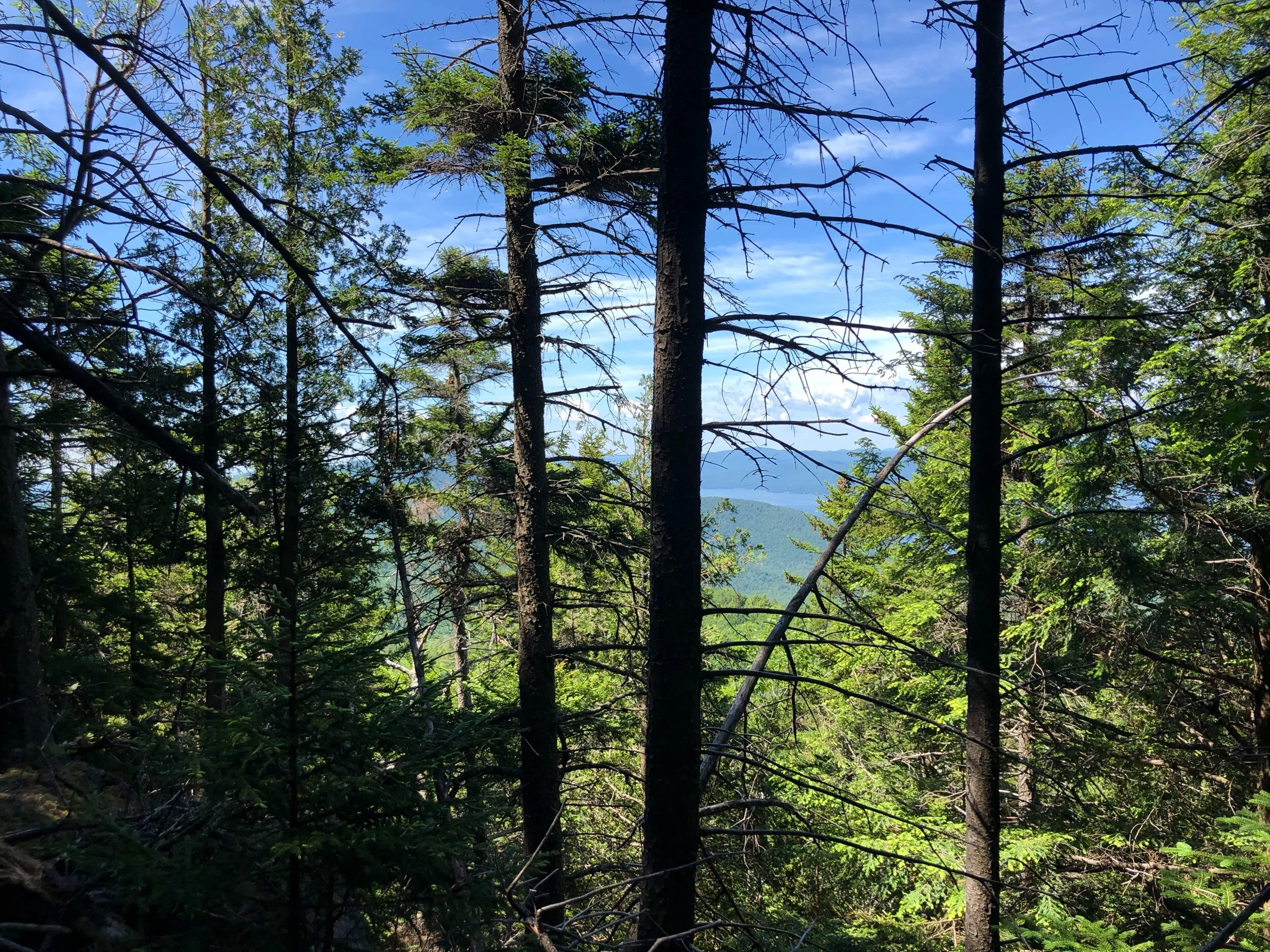
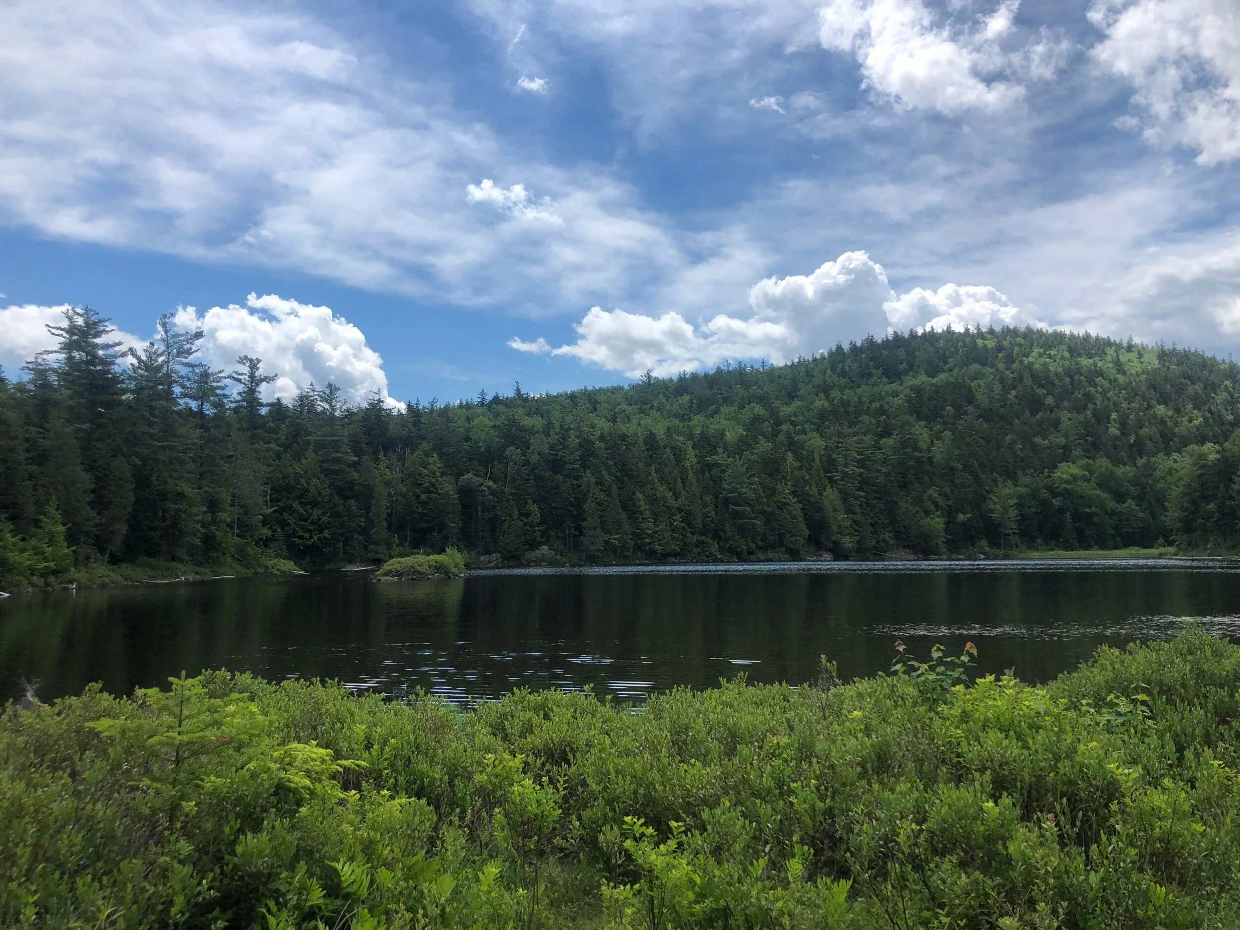
I turned left after exiting Sleeping Beauty, continuing on my journey to reach Erebus. I previously heard this trail was viewless, out of the way and muddy- which isn’t false. It started to get muddy, for sure. After 0.8 miles, I reached Bump’s Pond by way of a clearly marked, mostly flat trail. 0.9 miles later, I reached Fishbrook Pond. This area was SO beautiful and serene; I wish I had spent more time here. I made a mental note that I would be back here one day soon to enjoy it thoroughly. This is where I should have made the right around the pond to continue on the path and pass the lean-to; however, I went left around the pond and took the horse trail. I do not recommend what I did, since it got extremely muddy, was poorly marked, and confusing. After enduring this accidental route, I found myself back in sync with the red trail markers, en route to Erebus. After endless mud, downed trees, and some good incline, I finally made it to the white disc labeled EREBUS MTN with a pink ribbon around the tree. Even though you can stop here, I decided to try the bushwhack up to the “true summit.” Although I feel I almost made it, I decided to turn around after I lost sight of the ribbon markers, since I was alone and the bushwhack was not necessary. I also did not want to destroy the land by trying to find my way (had I been with someone else, I think it would have been very achievable to find the true summit.) To complete the LG12ster challenge, you only must be at the official summit. Note, there are no views from the official summit nor the true summit – you are surrounded by trees. After the bushwhack attempt, I made a left and continued down Erebus, until I reached Bumps Pond from the other side this time and taking the trail 0.9 miles back to the initial trail junction from the morning. I then proceeded back to the trailhead, passing many hikers now as they made their way up the mountain on this pristine day.
Concluding notes: This is a fun hike, despite the remoteness and muddiness of Erebus – I would honestly do it again and spend more time at Fishbrook Pond. The Lake George Wild Forest is a gem, with so much to be explored. These two mountains are not exceptionally difficult, despite the slightly more challenging and less-trodden Erebus trail. Don’t let the no-views deter you from Erebus – you are rewarded with a stunning vision of the Lake from Sleeping Beauty! As always, bring your map, hiking essentials and a positive attitude. ;)
My recommendation for an ideal day and what you can pair this hike with:
These two mountains are great for a morning or afternoon hike. If you aren’t working on the 12ster challenge, Sleeping Beauty is nice on its own, either as out and back or as a shorter loop. Don’t forget your headlamp if you plan on staying for sunset!
Bring a picnic and spend some time at Fishbrook Pond. It was beautiful here and I will certainly come back one day (to the right section, that is!)
If you still have more energy after these two, you can hike Buck Mountain, which is also on the 12ster challenge. Drive back out to Shelving Rock Road, (a right past the first parking lot) and in half of a mile, you will reach another parking lot on your left (you can of course always park at Hogtown and then walk the 0.5 miles to the trailhead.) This is one of two approaches; I have only completed the hike via the other (and longer…) trail near Kattskill Bay.
If I wasn’t going alone and had two cars? I would hit Sleeping Beauty, Fishbrook Pond, and then continue heading north to Black Mountain.
The possibilities are endless in this region, and you can’t go wrong with whatever you choose to do!
Happy Hiking and Exploring!