The Hancocks
July 3, 2023
The background: a break in the rain was expected for this particular day so I knew it was time to attempt a bit of a longer hike and more than one summit if I could - but we would see how the day went..:
The hike: hike in, clockwise loop, hike out ~9.5 miles (15.28km) with an elevation gain of ~2,600 feet (792.4m.)
Getting to the Hancock Notch trailhead: from the town of Lincoln, NH, it’s about 13 minutes and nearly 10 miles to the parking lot. Head east on the Kancamagus Highway, going past Lincoln Woods and past Greeley Ponds trailheads. After the sharp turn immediately after Greeley, the parking pull off will be on your right hand side. There is no fee to park and bonus, a beautiful view of the mountains!
Other notes: You should have no issues with the road leading to the parking lot in 3 season weather since the lot is off of the main road. Parking probably fills up on peak season weekends (I was one of the first cars, but not the only car, on a cloudy day.) Plan to get there early if you can.
You will not have cell service at the parking lot, so plan accordingly.
To pick up the trail, you’ll cut through the parking lot through the forest to the road: cross the street (using caution!) and you’ll see the start of the trail back in to the woods. You should have no challenges following the trail to the Hancock peaks, as it is marked and well defined, with a few signs along your way.
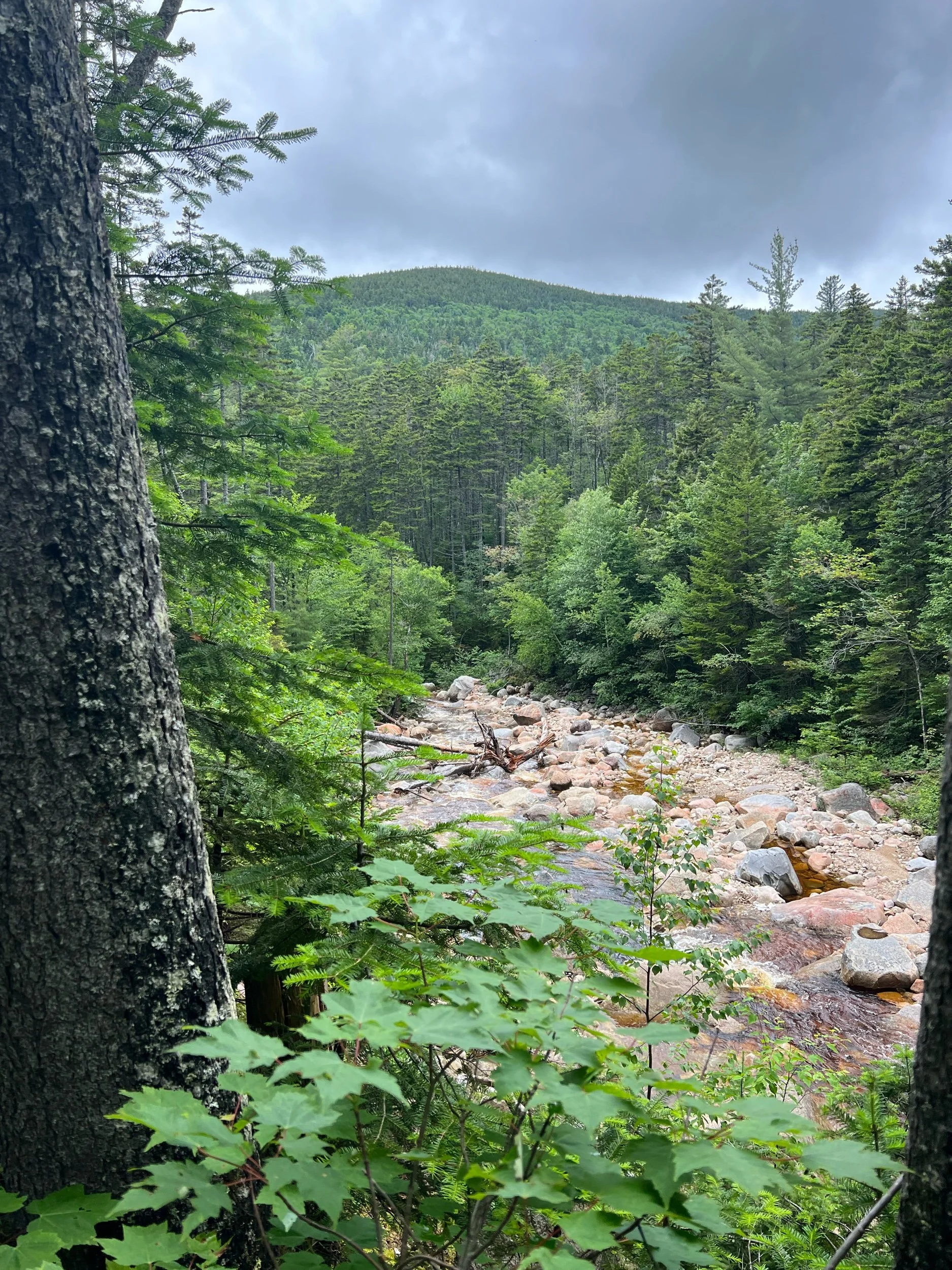
I didn’t mind this hike at all, despite a few water crossings and the occasional mud, which was more than I had seen versus my previous days hiking in the region. I found it rather peaceful on this gloomy, cloudy, day and I welcomed the flatter terrain - but I knew it wouldn’t last long, as I had learned during my research. Once I got to the junction to start my loop clockwise to North Hancock first, it was time to climb. In 0.5 miles, I would be climbing ~ 900 feet. This section was steeeeep - I personally would rather climb up it then go down it, but you can pick your poison! It was nothing technical and nothing that I felt uncomfortable hiking alone, but you will definitely be navigating some rocky sections to get to your destination.
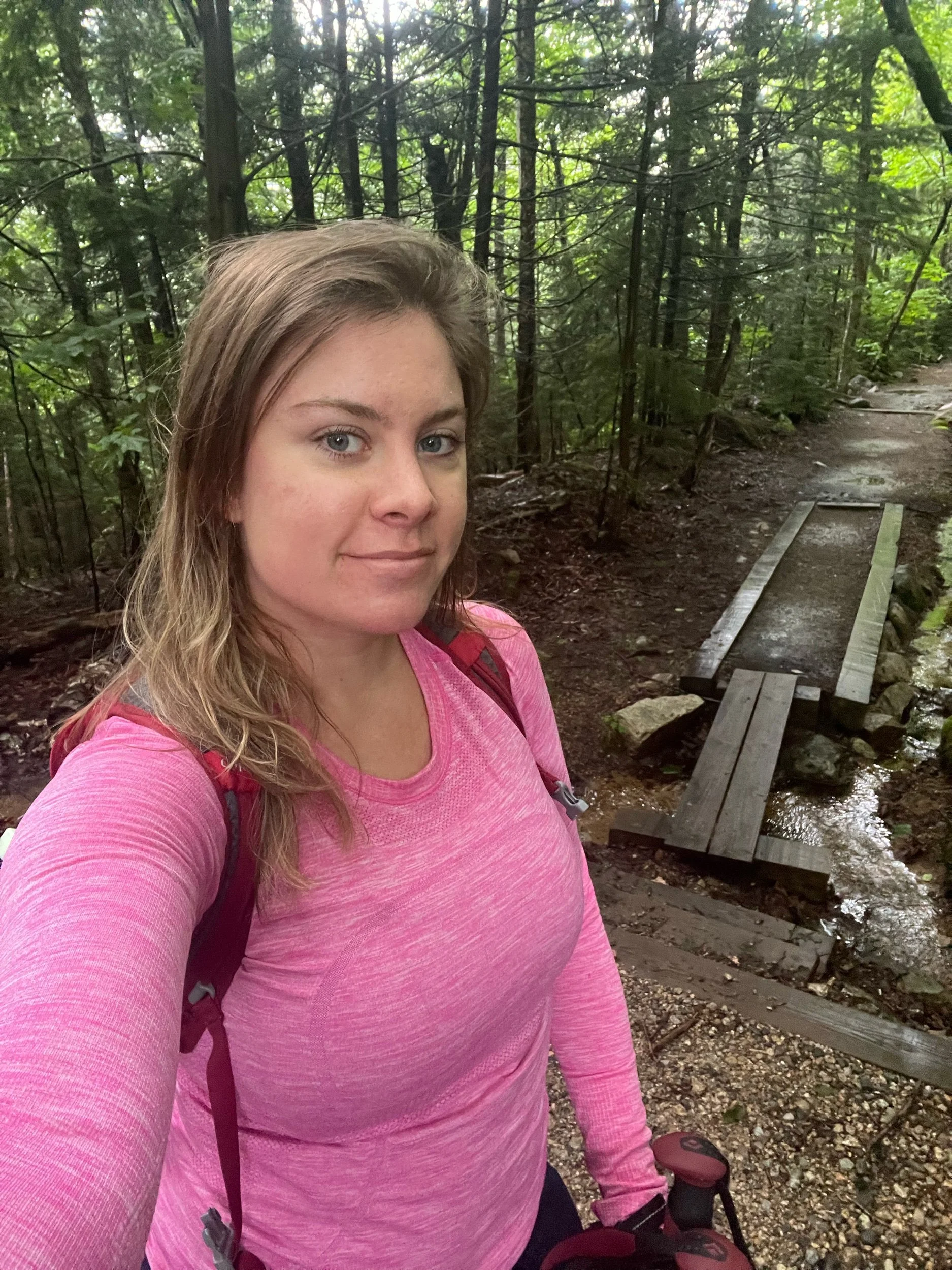
After a bit of stop-and-go to catch my breath on the climb, the summit area was in sight. It was completely overcast and I could barely see the world around me, but once again, I embraced the moodiness and whatever breeze I could get to battle the severe humidity. The summit is wooded, so I took a quick stop and kept moving to get to South peak. Note, as part of the loop, you will hike to Middle peak (which does not count as a 48er) before you get to the summit of South peak. Mostly wooded with some patches to see views (I would not have them on this day) I enjoyed this hike and didn’t find it overly technical or challenging. I had not seen a soul at this point, but would see several individuals and groups on my descent and way out.
An ideal day and what you can pair this hike with: while this makes a nice morning or afternoon on its own, you could pair it with East Osceola via the Greeley Ponds trail (a quick drive down the road) which is another NH 48 peak (although many approach it with Osceola via a different trailhead.) looking back, I should have done this… however:
I decided to drive over to Mount Hale and hike it via the Hale Brook trail, since I had daylight on my side during this time of year and it was a shorter length hike that I could do before dinner (after a quick break and grabbing lunch in Lincoln, of course!)
Happy Hiking!