Mount Waumbek (+Starr King)
July 2, 2023 | Jefferson, NH
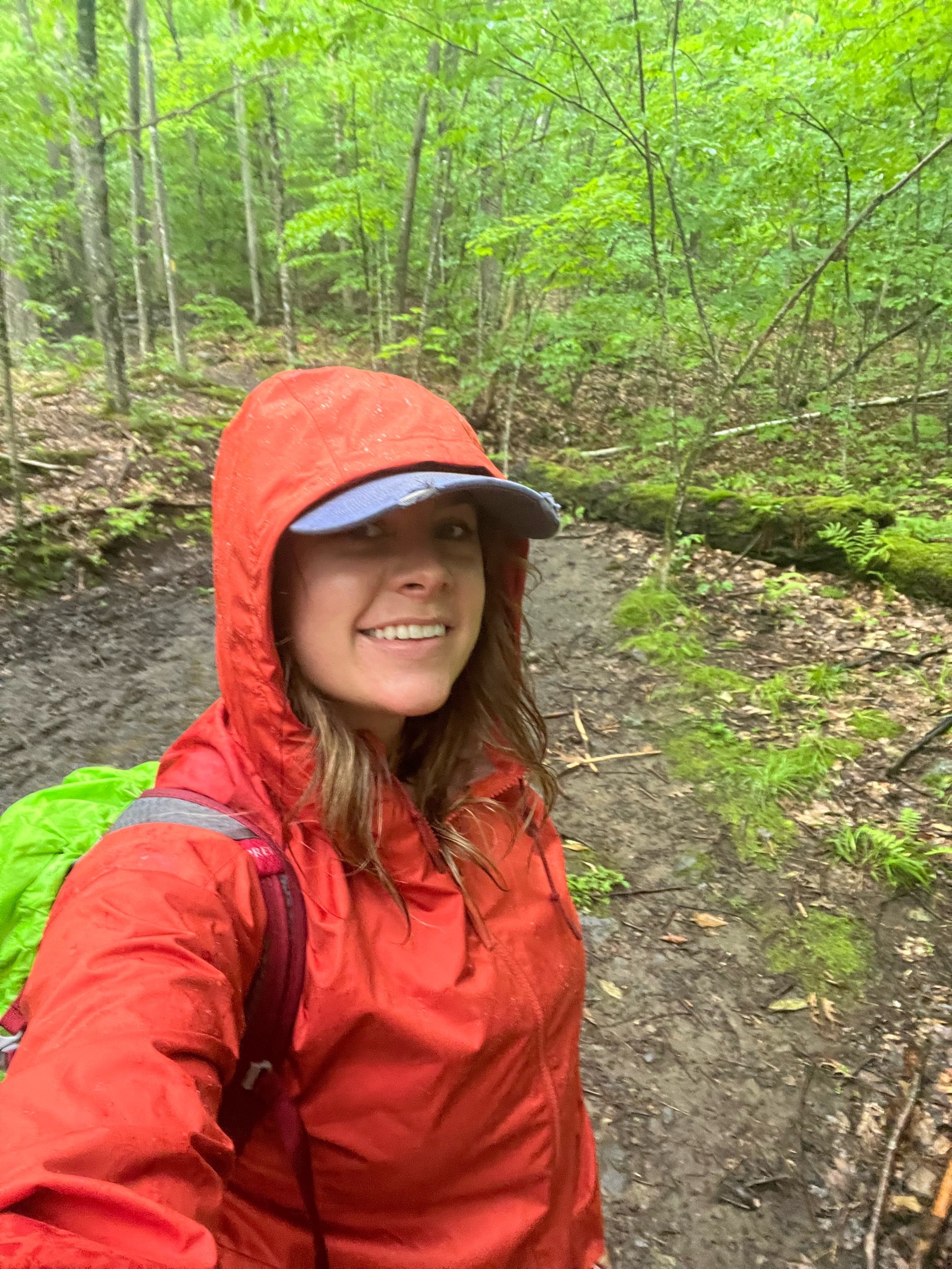
The background: To no surprise given how the summer was trending, it was another humid day with rain in the forecast. I decided to try and get in a hike, with the conditions in mind. I decided I would attempt Waumbek given it was suggested in different forums for a rainy day since there is no ridge exposure or significant views to be had. It turned out to be the perfect choice, and the ultimate moody, moderate, but pleasant hike.
Notes on the trailhead: Make your way to U.S Route 2, turn on to Starr King Road, stay left at the fork, and park in the small designated lot.
For reference, it’s about a 45-minute drive from the town of Lincoln, NH, and about 25-minutes from Gorham, NH.
There is an Old Corner Store with gas station about 2 minutes from the trailhead if you need to stop before or after.
AT&T cell service was spotty, but available at times.
The hike: Out-and-back 7.2 miles (11.58 km) elevation gain ~2,700 feet (822.9 m.) Rock pile at summit of Waumbek.
As mentioned above, I enjoyed this hike on a rainy day (& probably would also enjoy it on a sunny one!) It is free of any technical sections with a moderate ascent the entire way. Yes, it’s not as short in distance as say Cannon was the day prior, but I didn’t mind the distance (OK…maybe at the end I was ready to get out of the woods when I was soaked…)
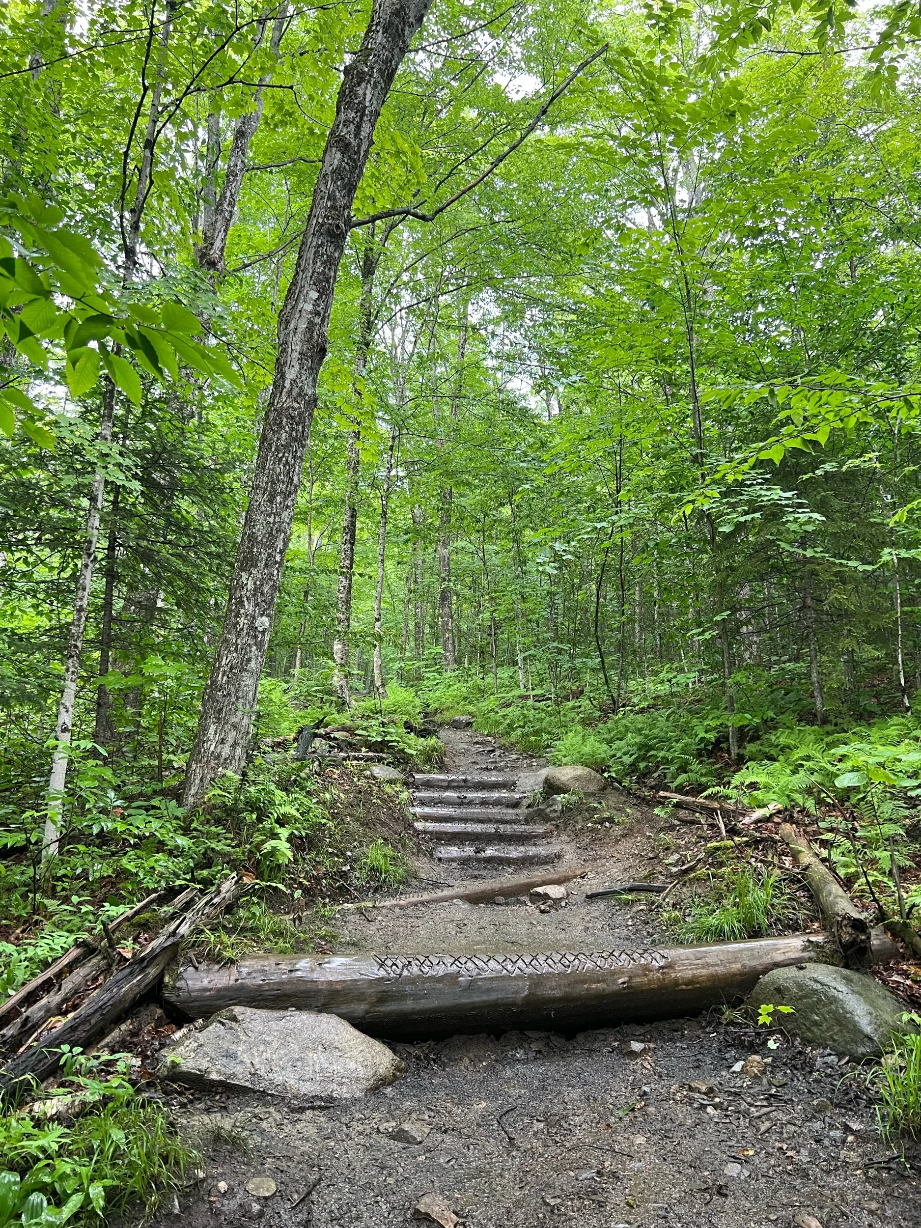
You’ll park in the small lot at the end of the road and continue to pick up the trail in the same direction. You will have no challenges following the trail and making your way through the beautiful forest to the first stop: Mount Starr King. Once you see the remnants from the chimney, you can stop here for a quick break (I kept moving due to the rain) or continue on your way past the chimney to go down through the woods to ascend Waumbek. In what seems like no time, you’ll enter the col and then approach the treed-in summit, greeted by a pile of wood and a sign. You’ll then descend the same way you approached. You can keep going down the other way, which leads you to a different trailhead (don’t do this unless you have a planned traverse!)
I was surprised how many people I saw on trail this day (I am glad rain wasn’t completely deterring hikers’ plans!) but then again wasn’t surprised given the nature of this hike. I am happy I got to experience this hike early on in my 48’er journey given it is a bit out of the way from the others.
What you can pair this hike with: Since this one is a bit out of the way; you could hike Cabot (about a 50-minute drive north from this trailhead) for a long day, if daylight and energy are on your side. I haven’t hiked Cabot yet, so am not familiar with the difficulty; however, I will be sure to update this if I think differently after hiking it!