
Catskills: Table, Peekamoose, Lone, Rocky
September 2022 | near Denning, NY
Region: Slide Mountain Wilderness
The background:
Read more here about 46 Climbs, including their vital mission and impact, as well as how you can get involved.
Advice and considerations (putting this here instead of towards the bottom in case you don’t get there!)
Having now completed all of the 33/33 Catskill climbs over 3500 feet, I can confidently state that Rocky was one, if not the, most difficult bushwhacks for me to navigate. If there was a herd path, I lost it almost immediately. I would highly recommend a compass or navigation tool to assist (especially if you are alone.) I downloaded a map to my phone and previous hikers’ routes, and this was helpful; however, I don’t recommend or love relying on my phone ever in case something happens to it. I would rethink this approach next time I go on this hike. I have also heard there is absolutely no trail in sight if you were to hike from Rocky and continue on to Balsam Cap (but you can approach this from another trailhead, which is what I ended up doing the following day.)
Cell service is sparse at best all day and will be non-existent at the trailhead - as always, do not rely on it. Given the nature of this hike, I would text people when I did have service a photo, so they knew I was OK.
Allow more time than you think you might need, especially with the added layer of not 1, but 2 bushwhacks. Bring extra water and a headlamp (or 2) in case you are out later than expected.
If going solo sounds dreadful or impossible, I would recommend a local guide or, the Catskill 3500 club offers guided hikes from time to time - read more up-to-date info on their website.
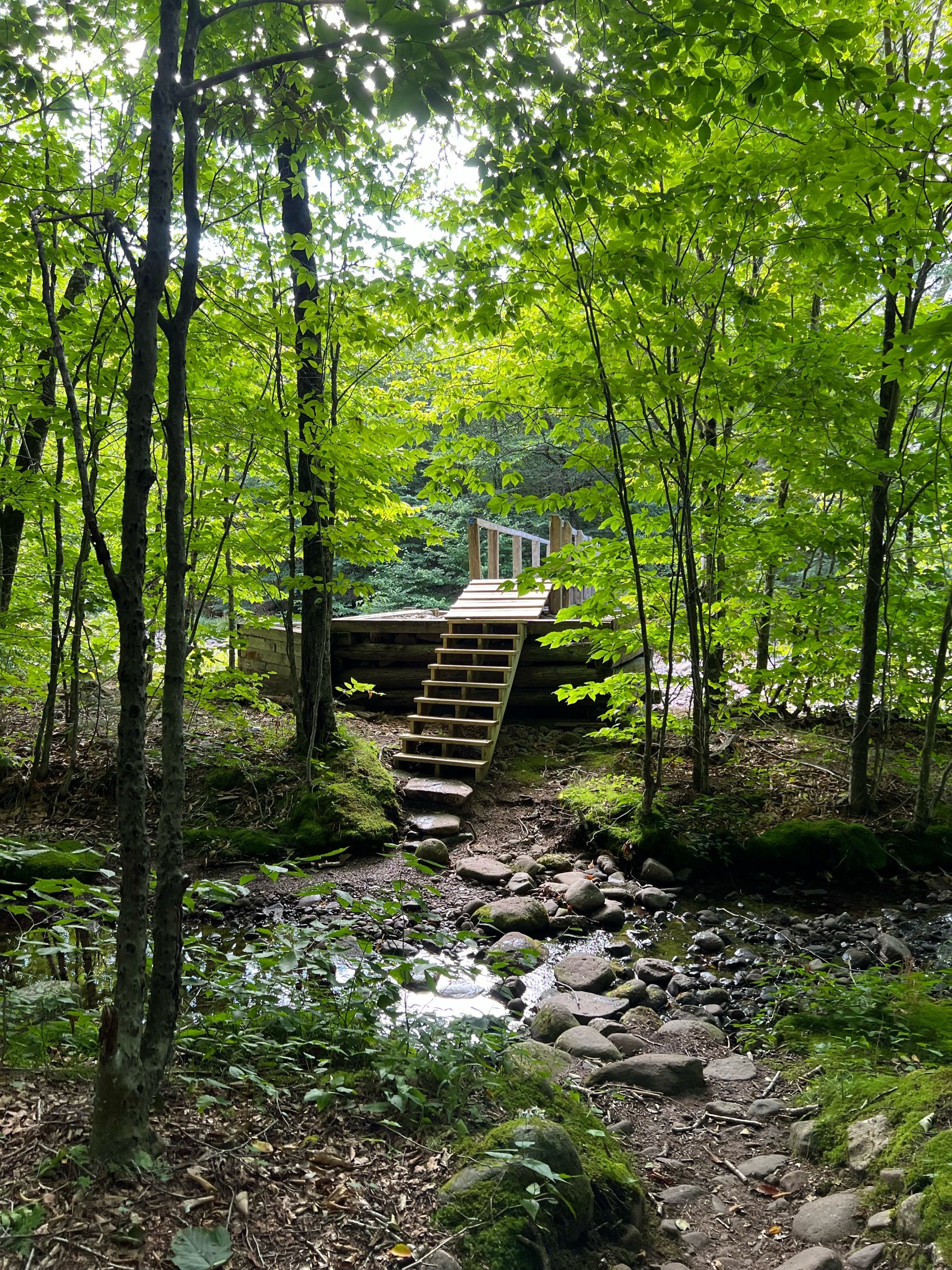
Getting to the trailhead: Note, this is one of the approaches to reach Table and Peekamoose. I started from Denning Road, which does not require you to have a permit (unlike at Peekamoose.)
My route: Out-and-back, single day, solo. Signed-in at Denning, ascended Table, hiked over to Peekamoose out-and-back to the cairn to Lone (herd path), then traversed on to Rocky; retraced the bushwhack back to trail down Table to the trail register.
Summit Summary:
Table: No canister, treed-in summit. Viewpoint from several areas along the trail.
Peekamoose: No canister, treed-in summit. Rock featured below is the “highest point” (so I was told by the gentleman on the summit who snapped the photo.)
Lone: Canister, herd path/ bushwhack, treed-in summit.
Rocky: Canister, true bushwhack, treed-in summit.
Note: many hikers will complete this as a loop, and/or add on Balsam Cap and Friday (2 more 3500’ers.) Given I was alone, and this was my first time completing these bushwhacks, I did not feel comfortable trying to forge a path down the Fisherman’s Path (creating a loop after Rocky instead of the out-and-back I did.) However, I heard from hikers in passing (and after my hike) that if you go out-and-back from Rocky to Lone, the herd path to the Fisherman’s Path is easier to catch there than from Rocky. I have no direct experience with this, but could be worth investigating if you are interested in the full loop bushwhack.


Lone + Rocky


