ADK 46: Street and Nye Mountains
Region: Adirondacks, High Peaks Wilderness
June 26, 2021 | Lake Placid, NY
The background: Maybe you’ve heard that Street and Nye are uneventful hikes, and that there’s no view. Or perhaps you’ve heard they are “easier” hikes than some of their other High Peak siblings. While I don’t outright disagree with any of these assessments (except the no view because there are sections with views on Street!) this is an overall enjoyable hike, in my opinion. While we hiked in overcast/rainy conditions, I would not mind going back on a clear day or really any day at all. If you are working towards your 46, don’t have 12+ hours to spend on the trails and are looking for a more moderate day in the High Peaks, this is definitely an option for you. Bonus is Heart Lake, the High Peaks info center, and the Hungry Hiker food shack (check hours on their site) that await you back at the parking lot.
Getting there: You’ll park at the Adirondack Loj just outside of the village of Lake Placid. The lot will be to your left once you see the attendant station. As you can imagine, parking fills up fast and early on weekends. There is a fee at the booth (an ADK member fee and a non-member fee.) If no attendant is at the booth, leave the amount in the envelope in the box and take the parking tag to your car. The rate drops after 1PM, and weekly rates are also available. You will most likely not have cell service at this point until you start to gain elevation on your hikes, away from the lot. The road is not an issue for vehicles in 3-season weather. If you drive pat the toll booth and come across the Loj (cabin area) and aren’t staying there, you’ve gone too far.
There is a restroom here and you can also rent certain equipment during business hours. Be sure to check out their website for all that they offer, as well as how you can become a member.
ADK LOJ address: 1002 Adirondack Loj Road, Lake Placid, NY.
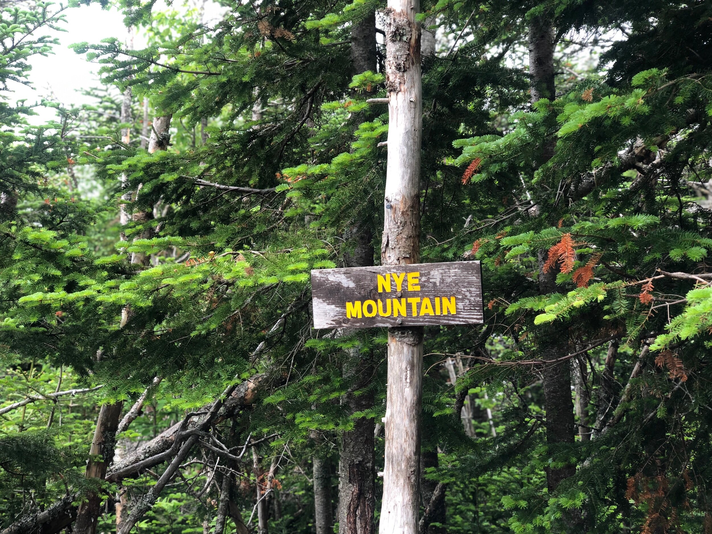
The peaks: Street is the 31st tallest peak at 4,166 feet, while Nye, just shy of 4,000 feet at 3,895 feet, is the 45th tallest. Due to surveying errors, Nye is still historically counted in the 46, despite failing to meet the 4K footer requirement. Both have summit signs at the time I hiked them!
The route: Approximately 9 miles out-and-back, technically trail-less and unmaintained, although not impossible to follow and certainly not a bushwhack. You will reach a junction for the peaks; after summiting one, return to the junction, and hit the other. We summited Nye first, then Street, but it does not make a difference the order in which you approach them.
The hike: We picked an overcast Saturday in June to tackle these. I had just spent the week hiking various High Peaks and other lower elevation peaks, so was happy for a more moderate day planned to round out my trip.
We snagged some of the last spots in the Loj parking lot around 6:30AM (quick note here: you can always park down the road at South Meadows for no fee – just remember, you must walk down the road to pick up this particular trail, since it’s the opposite direction of Marcy, Colden, and the Macintyre Range.)
If you’re driving down the Loj road, this trail will be picked up on the righthand side – so opposite side of the road to where you will most likely be parking. Another quick tip is to make sure you’re on the right trail: when you sign into the trail register, you will see everyone’s destinations written – make sure this is where you are headed! If you see people write Algonquin or Colden, please turn around and go to the other side of the road!
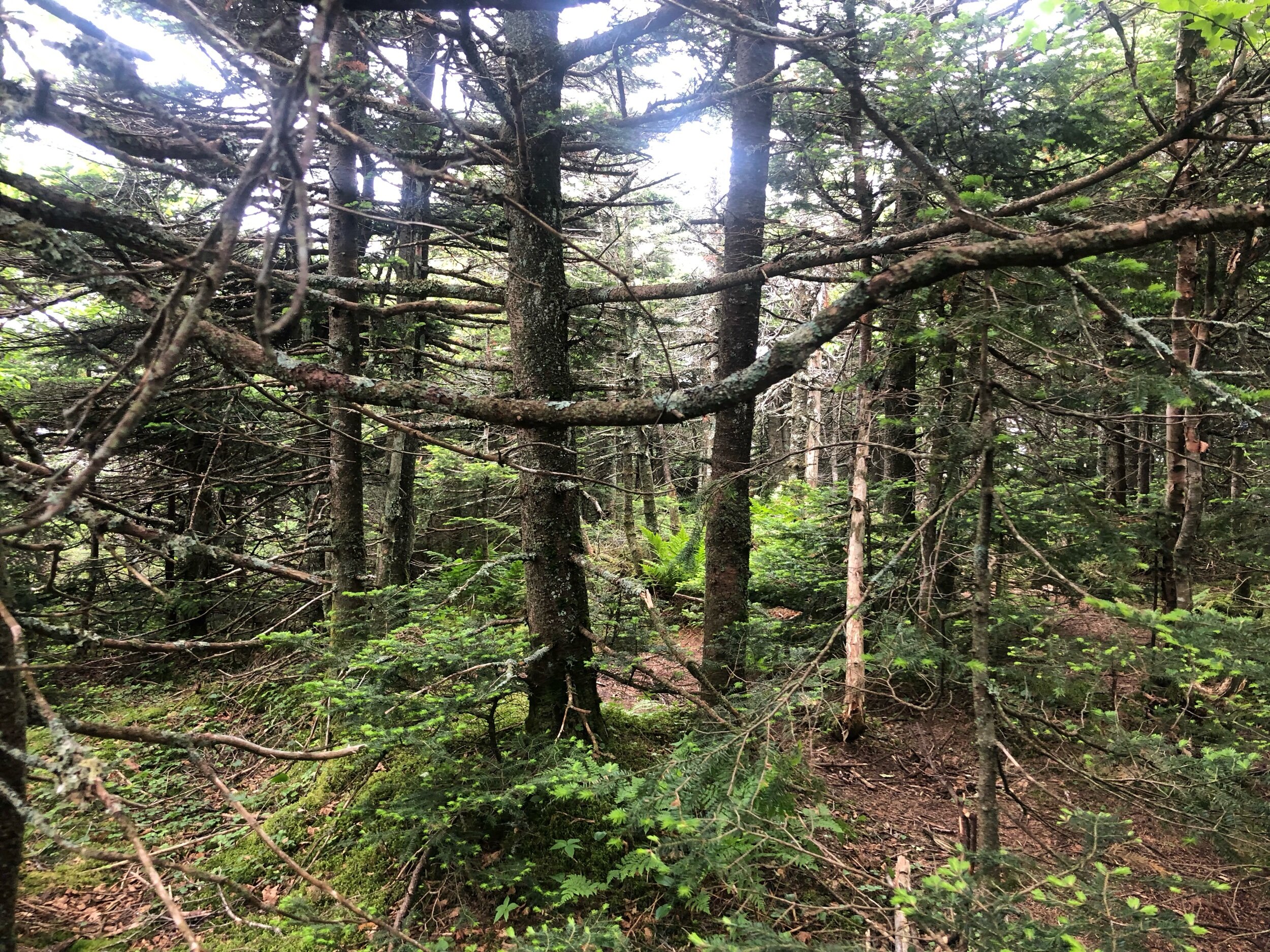
We walked down the trail, passing the start of one of the Mount Jo trail approaches to our right side, continuing our loop around this section of Heart Lake to pick up the unmarked trail. This is technically the start of the Indian Pass Trail -but you will not stay on here for long. This is a flat, pleasantly maintained section, before you get to the section of trail that will be unmarked until you reach the peaks.
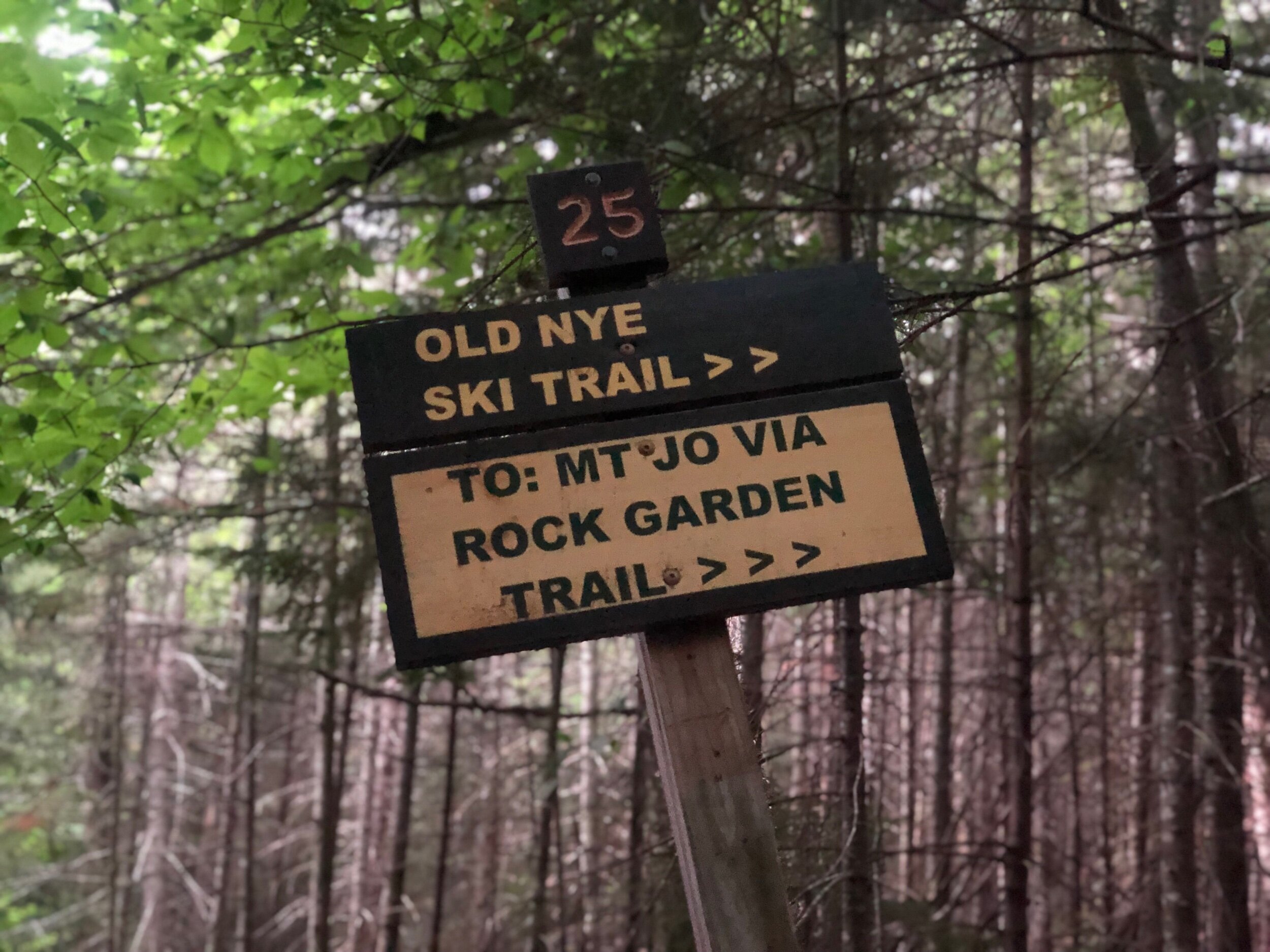
Stay on the “Old Nye Ski Trail” and NOT Indian Pass. You will also see the start to the Rock Garden Trail to your right; this takes you to Mount Jo (which you can of course stop by on your way out!) but do not make the right here. Keep going straight.
We made our way through the tree-covered trail, until we reached a specific section, I had heard all about – the Indian Pass Brook. I heard it was unpassable at times with the water levels too high and too dangerous to cross- but other times, remained safe and uneventful with some crafty rock hopping and analyzing. Fortunately, we were able to follow the cairns and rock hop across with no problems. This is a section to watch out for the cairns, and also assess the water levels – it could be higher upon your return, so just be prepared to make this call once you approach it.
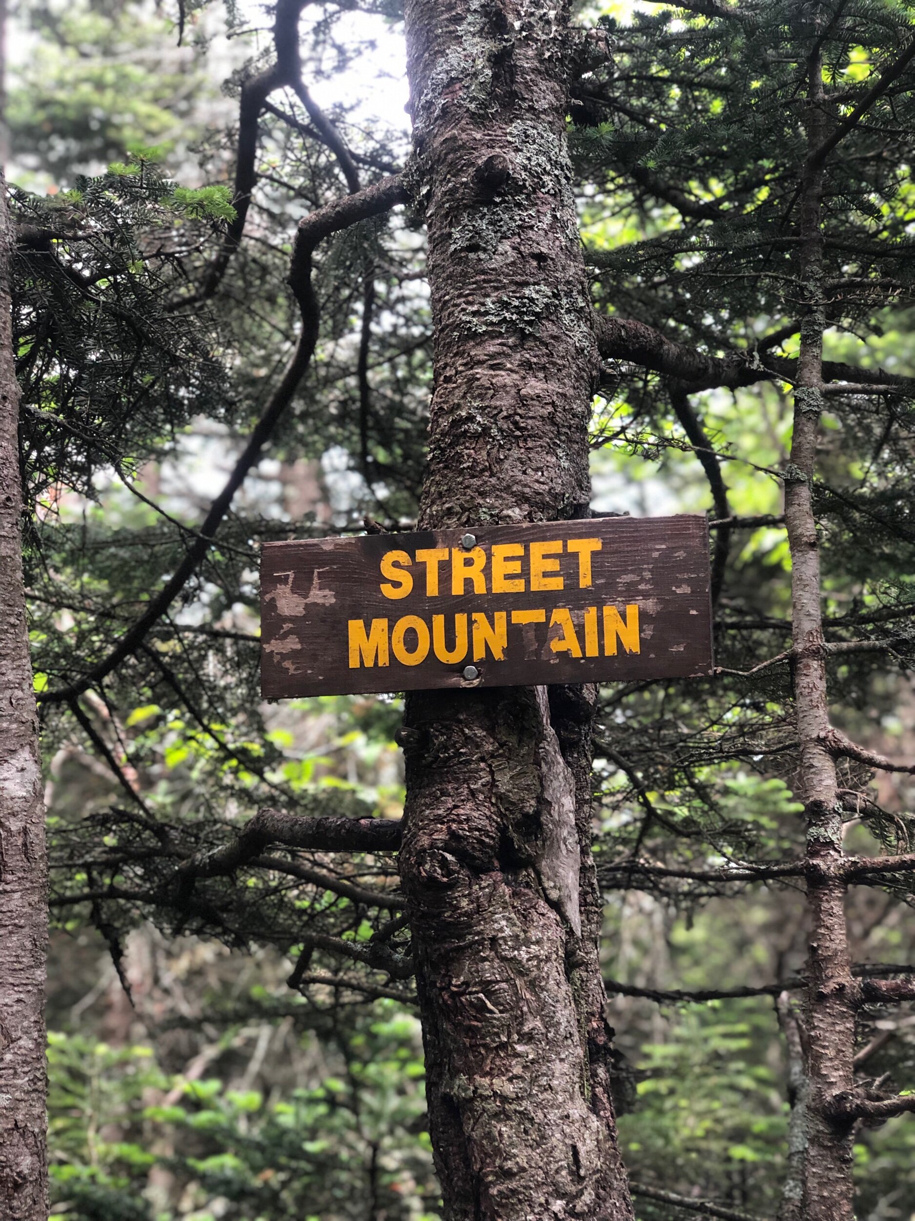
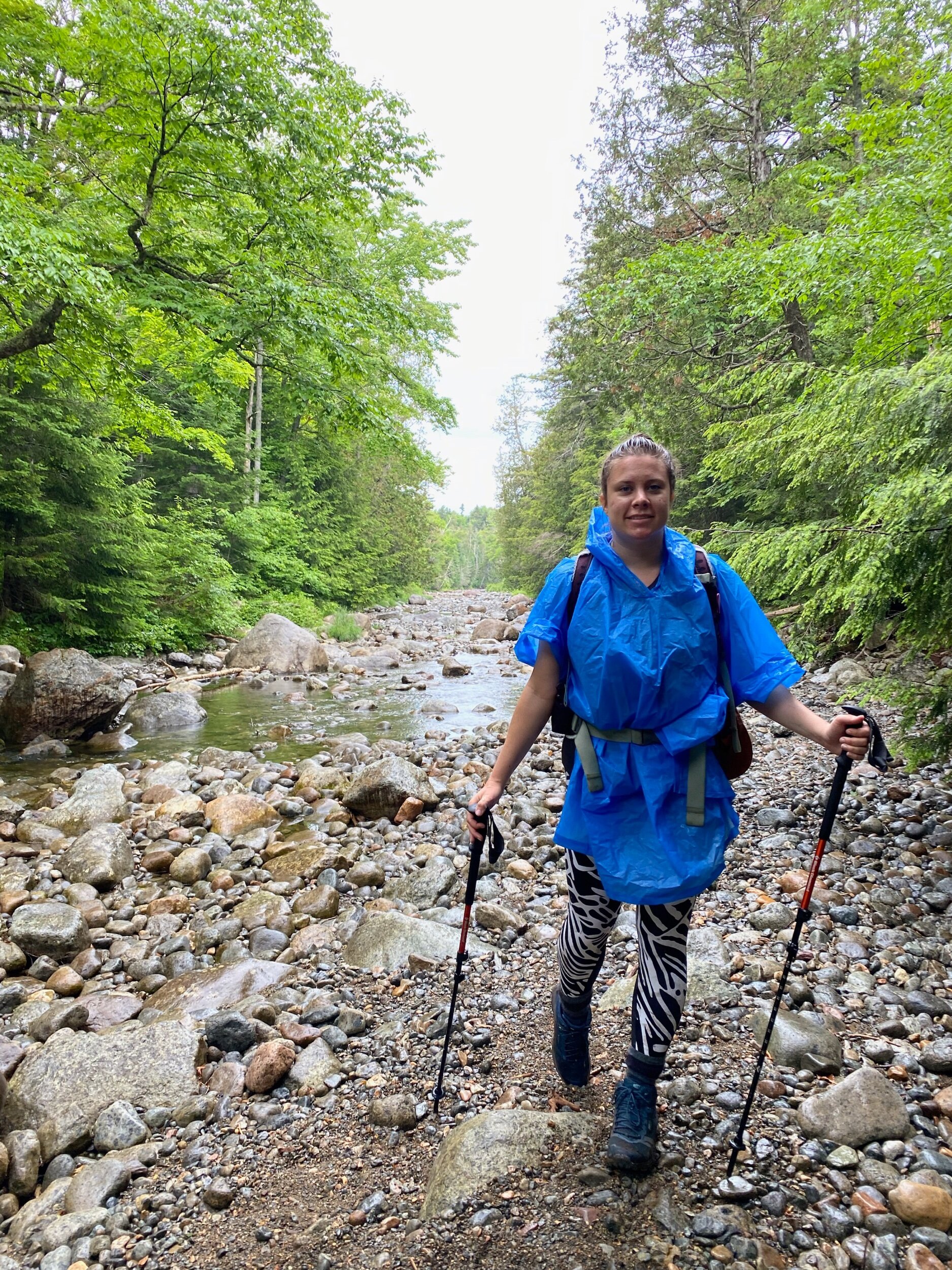
We kept following the unmarked (but clearly apparent) trail, seeing quite a few groups out (families with children, couples, you name it!) It was definitely one of the busier trails I had encountered that week, which I found interesting given its “negative reputation.” We enjoyed our stroll through the woods, until we started to feel the elevation gain – nothing crazy nor technical, but now we knew we were making our way closer to the peaks. Finally, we reached an area with a little bit of a view – the clouds were coming in and we were wondering if the threat of rain would actually occur. Although it didn’t matter which mountain we climbed first, my hiking partner recommended we hit Nye, since it is the shorter of the 2 at ~ 0.1 miles from the junction. She led the way and pointed out the “marked” junction – S and N were carved into the trees, showing hikers the way for the trail-less peaks. After what seemed like no time, we made it to Nye – no view, but nonetheless a great little summit to stop at for a minute. We also met two other women working on their 46, who we would run into again at Street and connect with! After a few laughs and summit sign photos, we made our way back to the S N junction to reach our final peak of the day, Street. After a ~ 0.5-mile jaunt over to the summit, Ely showed me the area past the summit sign with a view – although cloudy today! We snapped a few photos and took a break, thankfully at the right time – because nearly 10 minutes later, I kid you not, 30 people arrived at the summit – one large group and a few smaller ones. I can safely say I have never encountered so many people on a small summit like this! (except Marcy, which is massive!) It also started to drizzle, so we knew it was time to make our way back down the trail. Except as we started our descent, it began to pour – and pour – and pour. Fortunately, we had our rain gear, so threw on our duck covers and raincoats and kept a steady pace on our descent. We encountered a few slippery mud sections (very characteristic of the ADK), but overall, we made it down just fine. We still continued to see numerous people ascending, despite the rainy conditions. I was seriously in disbelief over how many people were out hiking Street and Nye!
We had no trouble re-crossing Indian Pass Brook, back to the flatter sections and eventually the Indian Pass trail which would take us to the Loj parking lot. As I’ve learned, we can’t change the weather, but we can prepare and change our responses to whatever it may bring…
The morning ended with me buying coffee and a hot dog at the Hungry Hiker. (For my iced coffee drinkers - they only offer hot coffee at the time of writing this.) 😬
Concluding notes: I wrote this upfront, and I’ll write it again here – I really did enjoy this hike. Two more High Peaks for me, in a condensed amount of time – and to be honest, any day spent in the woods with good friends is a great day in my book. It was not confusing to follow the trail – just look out for the cairns and markings to find your way. There were so many people on the trail this day, it would have been difficult to get off trail. Despite the rainy conditions, we were prepared and did not feel this hindered our hike (despite getting wet and sliding through some fun mud!) I will be back one day. Or if you need these peaks and don’t want to go alone – I got you. 😉
Recommendations for an ideal day:
Have just a littttle bit more energy and time left? Hike Mount Jo! You will see the trail start on your way back near Heart Lake. There are two approaches, but either route is just fine! You will be happy you added on this shorter climb for some seriously stellar views.
Grab a bite at the Hungry Hiker, or simply walk around near Heart Lake. Although most people are focused on the peaks, this is truly an incredible part of the property (and a nice, flat walk after you just hiked!)